Winter is Back in the Alps
12th March 2021
Last modified on May 12th, 2021
It has been a very dry past few weeks but winter has returned with big snowfalls in some parts. For those lucky enough to be able to ski there is set to be some great skiing in places this week.
Updated:
It’s mid-March but it’s more like mid-winter in the Alps with serious amounts of new snow for some areas.
The north-west of the Alps has got the lion’s share so far.
More than 50cm had fallen above 1,500m with half a metre at altitude in the Swiss resorts of Crans Montana and Engelberg.
Our resident alpine snow expert Fraser Wilkin of Weather to Ski was forecasting a possible 30-40cm more across the same regions before the end of Monday, including in resorts in France such as Flaine and Avoriaz, across most of Switzerland and western Austria.
He says it’s set to remain wintry all week with more heavy snow across the northern half of the Alps.
“With this cold and unstable northerly airflow expected to persist for several days, storm totals could reach 100-120cm in places by Thursday,” Fraser said.
“By contrast, the southern half of the Alps will see much less snow over the next few days. Some border areas (eg Cervinia) will see significant accumulations, but many southern areas will miss out this time around.”
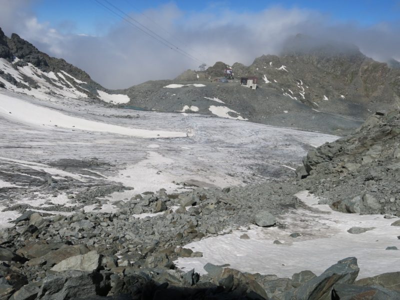
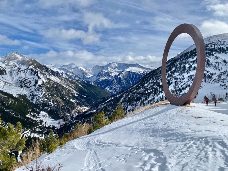
The pictures coming out of the Alps show impressive snow depths.
It’s looking rather good in Avoriaz in the Portes du Soleil in France.
The image below was taken on Sunday morning in Val d’Isere and comes from Radio Val d’Isere.
It has been falling across the border in Switzerland.
Further east in Austria here is a web camera image showing Zell am See across the lake with the glacier resort of Kaprun in the distance in the clouds.
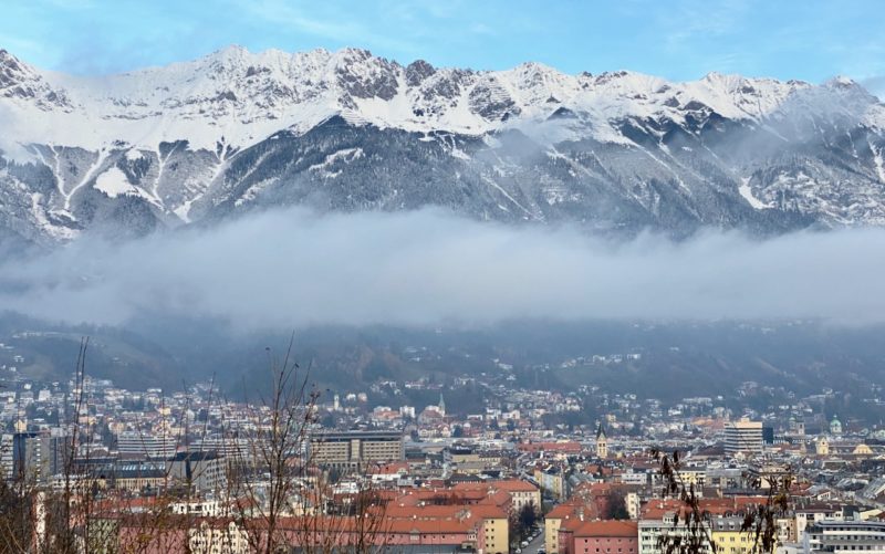
Eleswhere in Austria the resort of Axamer Lizum near Innsbruck saw some fresh snow.
“Powder snow and just right at the bottom spring snow,” said one of our readers, Holger Gassler, who was skiing in the resort over the weekend.
“The safety measurements, such as compulsory negative COVID test with the occasional police checks, mandatory wearing of a FFP2 mask, minimum distance, single queueing lines plus maximum capacity of 50% on the lifts works well and skiers obey them.”
“The slopes are empty and great for full pleasure.”
The alpine weather has generally been mild and snowless in recent weeks.
The early season promise of January melted away and there were some of the highest February temperatures since records began in the Alps last month.
We reported on the drought earlier.
That has now changed.
The Arlberg in Austria is one of the ski areas that is in the eye of the storm.
The resort of St Anton in the Arlberg area recently re-opened part of its lift system and now offers free testing for Covid-19.
Fraser Wilkin forecast the big storm on Friday.
He detailed the areas that would see the bulk of the snow:
- The northern French Alps (3Valleys, Portes du Soleil)
- Much of the Swiss Alps, especially in the north (Jungfrau region, Engelberg, Laax)
- The northern and western Austrian Alps (St Anton) could expect between 40cm and 100cm of new snow above 1500m by the middle of the week, with up to 120cm in places (Arlberg region).
Do also check out the reports on weathertoski.co.uk