Heavy Snow Falls in the Alps with Some in the Pyrenees Too
1st November 2021
Last modified on November 6th, 2021
November has started with some excellent snow across large parts of the mountains. 19 resorts already have some terrain open in Europe with more opening this weekend. There are a handful of resorts open in the USA. PlanetSKI looks forward to being out in the Alps later this month. LIVE & UPDATED
The snow started to fall last weekend in parts of the southern French and western Italian Alps.
Some areas saw up to 30cm of new snow in the first weather front and a new storm came in on Wednesday.
Up to 70cm has fallen in places.
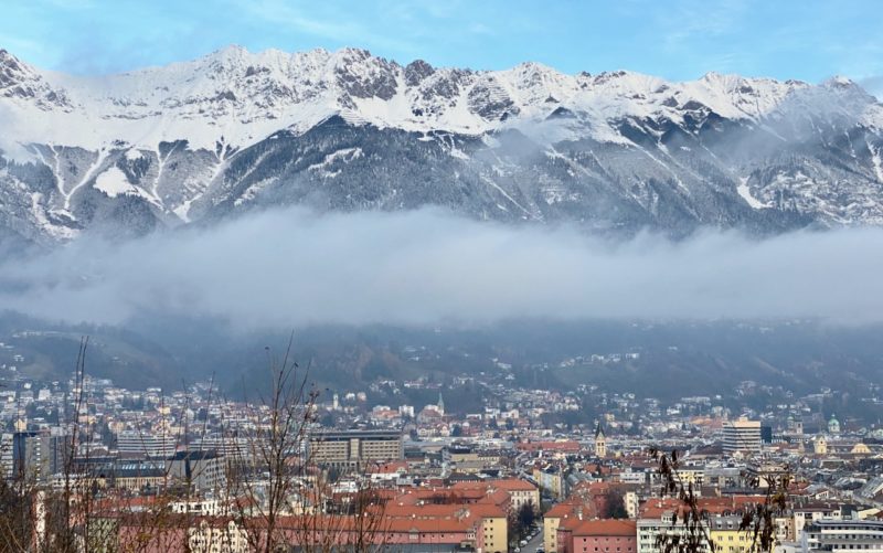
The main image above comes from PlanetSKI reader, Lindsay Cairns, who lives in the small village of Sankt Ulrich am Pillersee in the Tirol at an altitude of 835 m.
It’s been snowing in St Anton too.
What if we told you,
You can find magic in the
most beautiful place
in the Alps?#stantonamarlberg 🤩 this morning!#arlberg #austria #snowcovered #winterliebe #winterlove pic.twitter.com/uwaraa0RJN— St. Anton am Arlberg (@StantonReview) November 4, 2021
The snow has been a welcome start to November with winter now firmly on its way.
The storm has now passed and blue ski has returned.
Skies are clearing, so what now for the Alps? https://t.co/PGoKdcOhGN pic.twitter.com/AQ0agkR98w
— weathertoski (@weathertoski) November 5, 2021
It’s looking good in the glacier resorts in the Tirol that are already open for skiing.
It’s also looking good at Cervinia in the Aosta Valley that already has some slopes open up on its glacier.
PlanetSKI will be in Cervinia in mid-December.
Ahead of that we are in Val Thorens in France for its opening weekend on November 20th.
Things are starting to look good.
En direct de nos webcams 😍❄️ pic.twitter.com/RNRitsHZY7
— ❄️ Val Thorens ❄️ (@Val_Tho) November 3, 2021
Another area PlanetSKI is visiting in December is the city of Grenoble and some of its surrounding ski resorts in Isere.
Snow has begun to fall on the mountains in the Belledonne range.
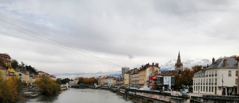
Image @alpesishere-Grenoble-The Belledonne range
See here for a recent feature article on PlanetSKI about the area.
Il neige à gros flocons à la station ! L’hiver s’installe en montagne 😍❄⛷ pic.twitter.com/nRxaX7eN24
— Oz-en-Oisans (@oz_en_oisans) November 3, 2021
Snow is falling elsewhere in the French Alps.
We have just received these images from Morzine in the Portes du Soleil as autumn heads towards winter.
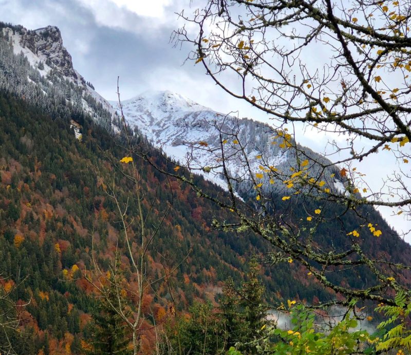
Image c/o Office de Tourisme de Morzine-Avoriaz
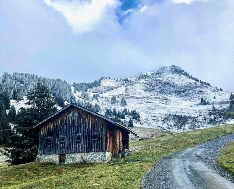
Image c/o Office de Tourisme de Morzine-Avoriaz
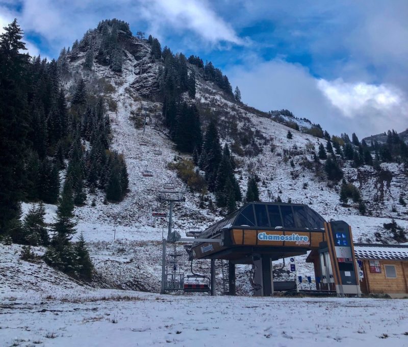
Image c/o Office de Tourisme de Morzine-Avoriaz
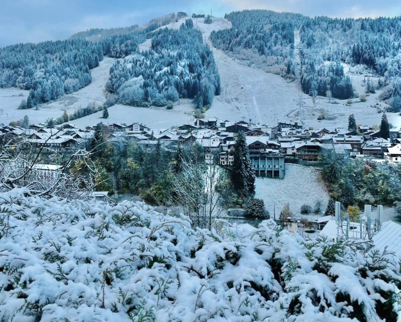
Image c/o Office de Tourisme de Morzine-Avoriaz
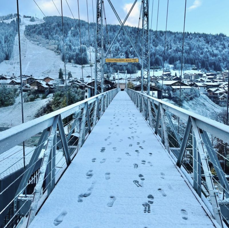
Image c/o Office de Tourisme de Morzine-Avoriaz
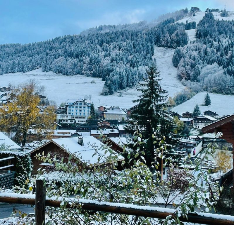
Image c/o Office de Tourisme de Morzine-Avoriaz
See here for an earlier PlanetSKI feature on what the winter holds in store in Morzine:
Did someone say “It’s the first day of winter today”? #valdisere #snow #neige pic.twitter.com/eMIUI1qlx0
— IntersportRent (@intersport_rent) November 1, 2021
Guess who’s back? #NovemberSnow@alpedhuez #FrenchMountainsNaturally pic.twitter.com/kXJCelhysr
— French Mountains (@FrenchMountains) November 1, 2021
So, what is the forecast for the rest of the week?
“Thursday will see skies begin to brighten across the south-western Alps, though most areas will still be cloudy with flurries to relatively low levels,” said the alpine weather expert, Fraser Wilkin, on Wednesday 3rd November.
“Friday and Saturday should see a more general improvement in the weather, with excellent snow conditions expected in the small (but increasing) number of open ski areas across the Alps.
“Another 10-30cm of snow is expected to fall quite widely at altitude over the next 24 hours, with 40cm or more in a few favoured spots, especially in the southern Alps and close to the main Alpine Ridge (including the likes of Zermatt/Cervinia, Saas-Fee, Andermatt, St Moritz, Livigno, Passo Tonale and the Dolomites),” Fraser added.
He reports the snow conditions on the web site weathertoski.co.uk.
Snow is falling in Switzerland too.
La neige a fait son apparition sur les sommets de #Nendaz.
👉https://t.co/QPhsf0qzZv#InLoveWithSwitzerland #monhiverenvalais pic.twitter.com/qmYqoiOJp5— Nendaz Switzerland (@NendazSuisse) November 2, 2021
And lets not forget the Pyrenees.
One day to another…in Grand Tourmalet, French Pyrenees pic.twitter.com/FVnJM8Djmu
— IntersportRent (@intersport_rent) November 3, 2021
A couple more resorts, Andermatt in Switzerland and Kitzbuhel in Austria, opened some slopes over the weekend.
We have been following the resorts opening and snow in this rolling blog on PlanetSKI:
There has also been some good early season snow in California with some resorts opening weeks ahead of schedule.
Here at PlanetSKI we will be keeping an eye on the snow in the Alps in the latest storm so do check back for the latest updates…
PlanetSKI Snow Report © PlanetSKI

