The PlanetSKI Snow Report
22nd April 2022
Last modified on April 24th, 2022
We are out in the mountains enjoying the spring skiing. We’ve had some turbulent weather in the French Alps followed by a bonus dump of late season fresh snow. We are also in Norway and Sweden deep inside the Arctic Circle. UPDATED
Sunday 24th April
Out in the Alps there has been further snowfall.
In Les2Alpes in France, where our Chief Reporter Jane Peel has been spending the last few days of her ski season, winter has well and truly returned.
It’s exactly one week until the resort closes for the winter season and it’s had a significant dump of snow.
Even the south facing slopes at resort level that had been completely bare yesterday had a dusting once again on Sunday morning.
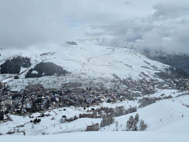
Les2Alpes, France – photo © PlanetSKI
“I was optimistic on Saturday night when the heavy rain in resort turned to snow after dark,” Jane says, “and this morning the mountains had turned white again, even down to 1,600 metres.
“The high winds of yesterday meant some of the pistes had windblown snow with hard pack just beneath the surface but others had fabulous powder, almost knee deep in places.
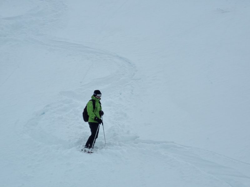
Powder in Les2Alpes – photo © PlanetSKI
“It’s definitely cooler than it has been but it’s not wintry cold, so it got quite heavy going towards the bottom but, all in all, not a bad situation for 24th April and a certainly a real bonus to ski some powder on the last morning of my 2021-22 season.”
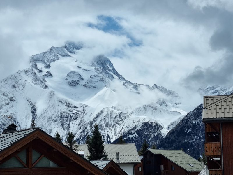
View from Les2Alpes, France – photo © PlanetSKI
Other resorts that are still open and have benefited from this late snow include Val d’Isère/Tignes in France, Cervinia in Italy, Zermatt and Saas-Fee in Switzerland.
We have more information on the situation in the Alps later this week in a moment in this report, but first we turn our attention further north.
Much further north.
The PlanetSKI Editor, James Cove, is in the Arctic Circle and has temporarily left Norway to cross the border into Sweden.
And this is why James is in Riksgränsen:
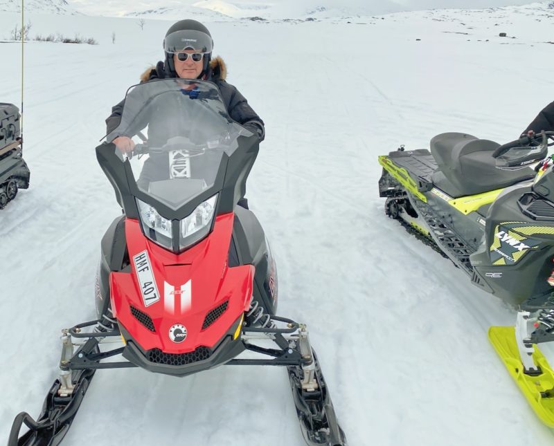
Snowmobiling in Ryksgransen, Sweden. Image © PlanetSKI

Snowmobiling in Ryksgransen, Sweden. Image © PlanetSKI
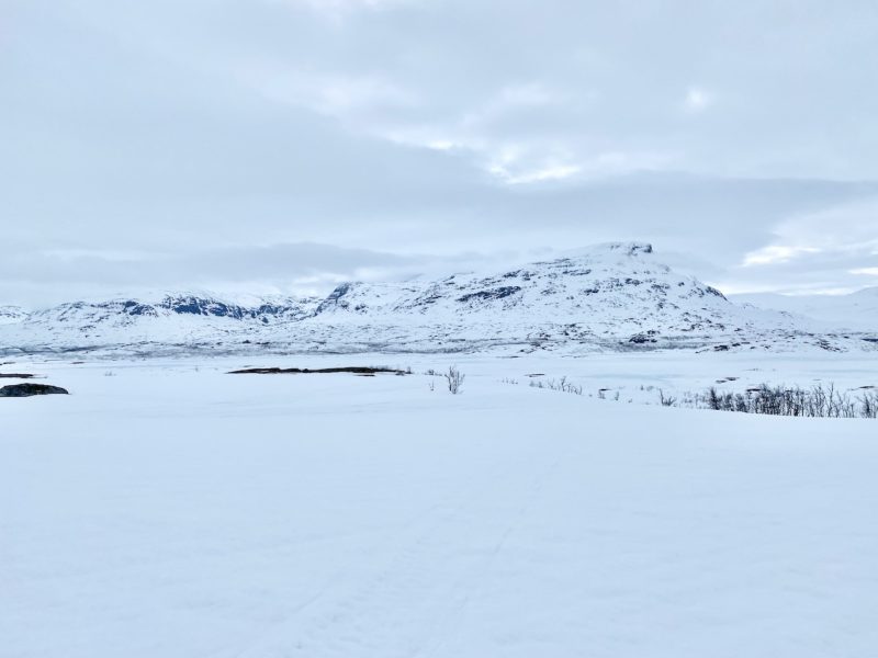
Snowmobiling in Ryksgransen, Sweden. Image © PlanetSKI
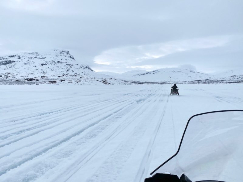
Snowmobiling in Ryksgransen, Sweden. Image © PlanetSKI
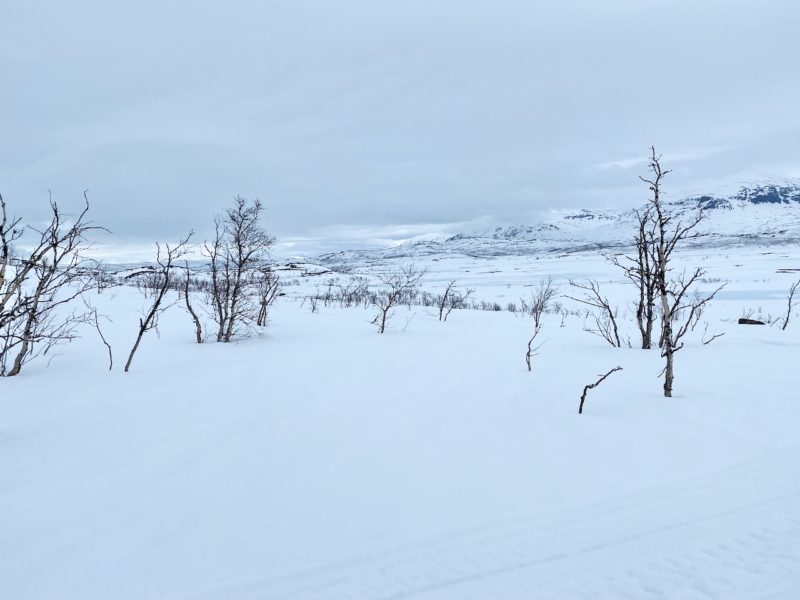
Snowmobiling in Ryksgransen, Sweden. Image © PlanetSKI
Riksgränsen is 200 km north of the Arctic Circle.
The skiing season runs from February to June, while from end of May the lifts operate under the midnight sun.
One of the pistes crosses the border into Norway and then back to Sweden.
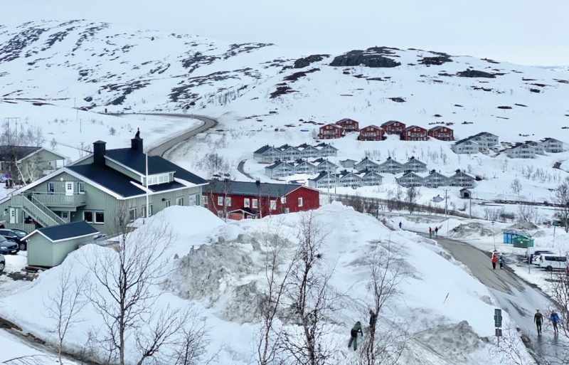
Ryksgransen, Sweden. Image © PlanetSKI
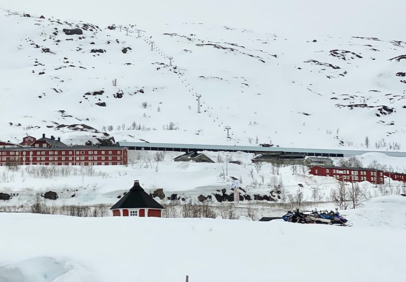
Ryksgransen, Sweden. Image © PlanetSKI
So, what about later in the week in the Alps?
“The next few days will see the weather in the Alps remaining relatively cool and unsettled, with further bits and pieces of snow possible just about anywhere, albeit generally in modest quantities,” said the alpine weather expert, Fraser Wilkin from weathertoski.co.uk, today.
“That said, anyone lucky enough to be skiing in the Alps next week should be able to find some good late season snow conditions, particularly if they take advantage of any break in the weather.”
Fraser adds that the best places to ski in the Alps at the moment week include Val Thorens, Tignes, Val d’Isère, Zermatt, Saas-Fee, Engelberg, Cervinia, Livigno, Ischgl, Sölden or any of the Austrian glaciers (e.g. Hintertux, Kaprun).
As we have mentioned, James is currently skiing in the Arctic Circle, but will be back in the Alps shortly as he visits Val Thorens for its closing weekend in May.
The season of 2021/22 ain’t over for PlanetSKI yet – not by a long way.
More to follow…
Saturday 23rd April
Our content editor, James Cove, reports from Narvik:
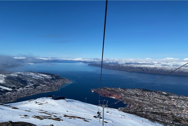
Narvik, Norway. Image © PlanetSKI
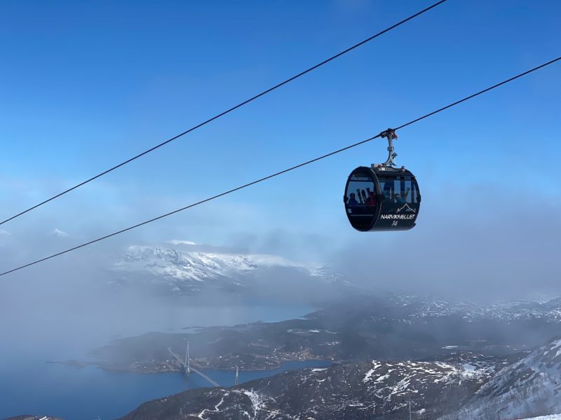
Narvik, Norway. Image © PlanetSKI
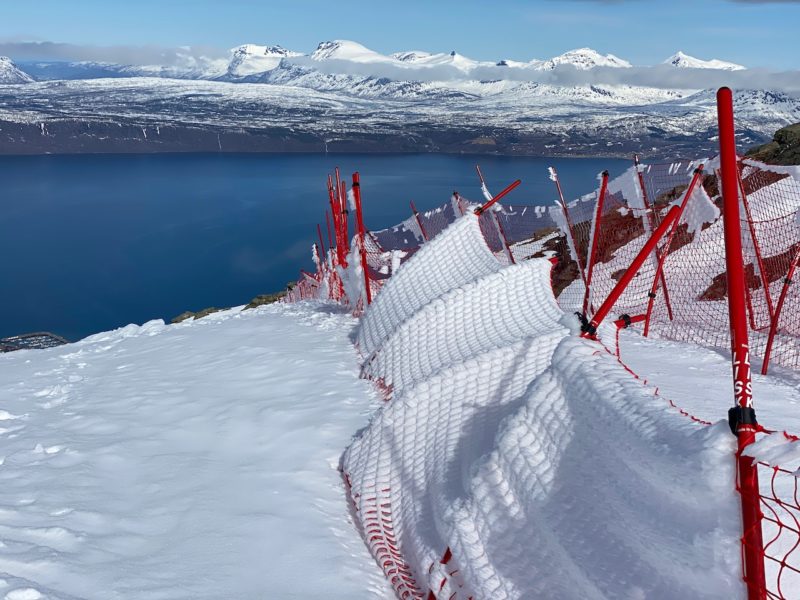
Narvik, Norway. Image © PlanetSKI
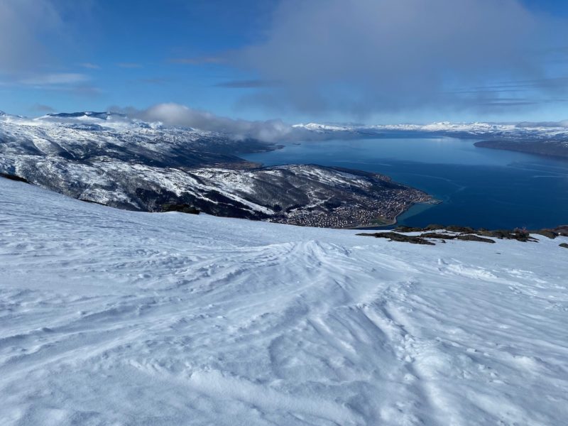
Narvik, Norway. Image © PlanetSKI
More from Norway after we hear from the Alps.
In Les2Alpes in France, our chief reporter, Jane Peel, has witnessed almost every type of weather possible today on her second day skiing in the resort.
Rain, snow, fierce winds, low visibility, good visibility, high clouds and even the occasional brief spell of sunshine.
And that was all in the space of 3 hours.
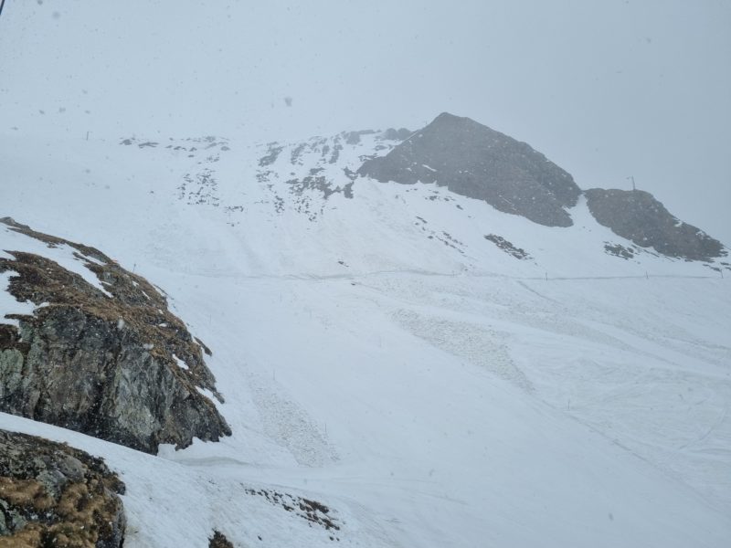
Les2Alpes on Saturday – photo © PlanetSKI
“It looked quite promising as we headed up from the resort at 1,650m at 9.30 this morning as the snow began to fall,” Jane says.
“It was quite wet snow and didn’t give much more than a light dusting over the pistes but it was enough to soften up the hardpack first thing and it was surprisingly enjoyable with few people on the slopes.
“Inevitably it was super slushy as we skied back down to resort at lunchtime and it was raining heavily in the town this afternoon.”
Back in Norway there was forecast to be sun on Saturday and some fresh snow on Sunday according to James.
At 7.30am in Narvik there wasn’t much sign of the forecast sun from the PlanetSKI accommodation overlooking the town.
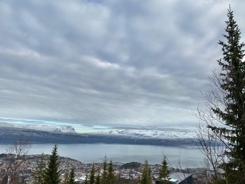
Narvik, Norway. Image © PlanetSKI
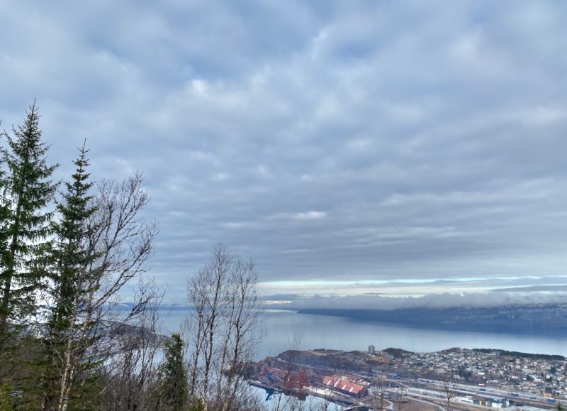
Narvik, Norway. Image © PlanetSKI
An hour later at 08.30am things were beginning to improve.
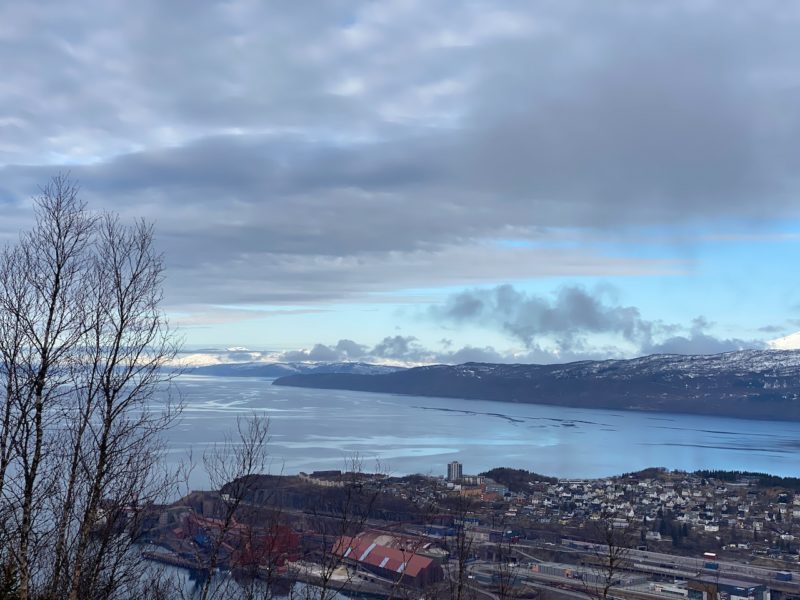
Narvik, Norway. Image © PlanetSKI
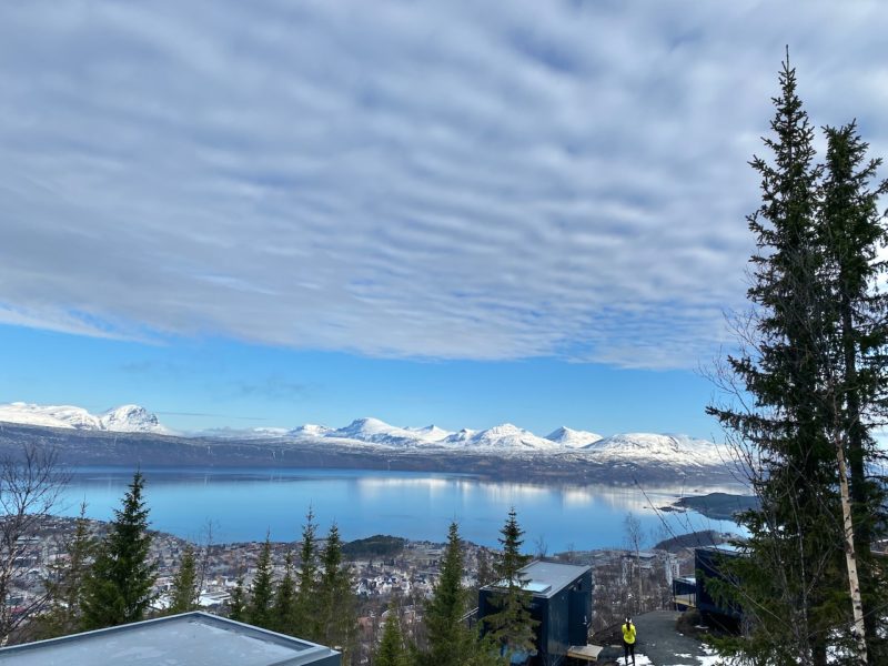
Narvik, Norway. Image © PlanetSKI
And by 10.00am…
James describes it as one the the most scenic flights to a ski destination he’s ever taken.
Snow remains over much of the length of Norway.
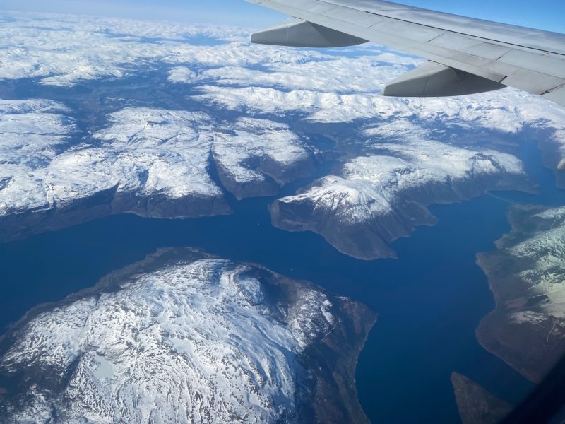
Heading to the Arctic Circle, Norway. Image © PlanetSKI
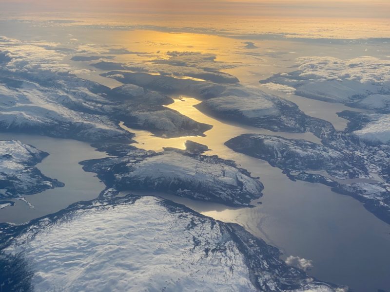
Heading to the Arctic Circle, Norway. Image © PlanetSKI
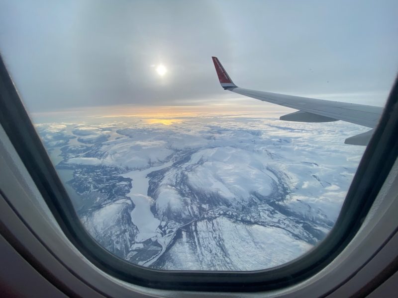
Heading to the Arctic Circle, Norway. Image © PlanetSKI
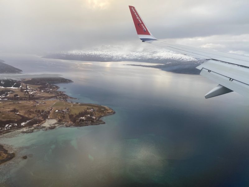
Heading to the Arctic Circle, Norway. Image © PlanetSKI
See here for his full report with plenty more pictures and a preview of what is to come:
More to follow…
Friday 22nd April
PlanetSKI’s chief reporter Jane Peel is continuing her April skiing in France and she is now in Les2Alpes.
https://www.facebook.com/planetski/videos/3042346142682783/
The weather in Les2Alpes and beyond is about to change, however with some snow – and rain – on the horizon.
“The clouds started to thicken shortly after I filed this snow report, sending us a message of what we should expect in the next day or so,” Jane said.
“The forecast for Saturday is for some snow on the glacier and on the high altitude slopes but the precipitation is likely to fall as rain lower down – and almost certainly at resort level, which is around 1,650 metres.
“Sunday morning there could be snow right down to the town.. Let’s hope so.
“I’m certainly glad we made the most of the good weather and conditions today.”
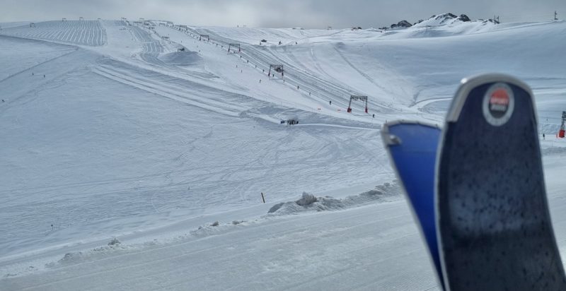
Looking up to the great conditions on the glacier in Les2Alpes- Photo © PlanetSKI
Around 60% of Les2Alpes’ pistes are still open with just over a week to go to the end of the winter season.
It’s very bare on the lower slopes.
It is, though, still possible to ski down to the town.
There’s only one run open – the blue Jandri 1 – which splits into two at the bottom.
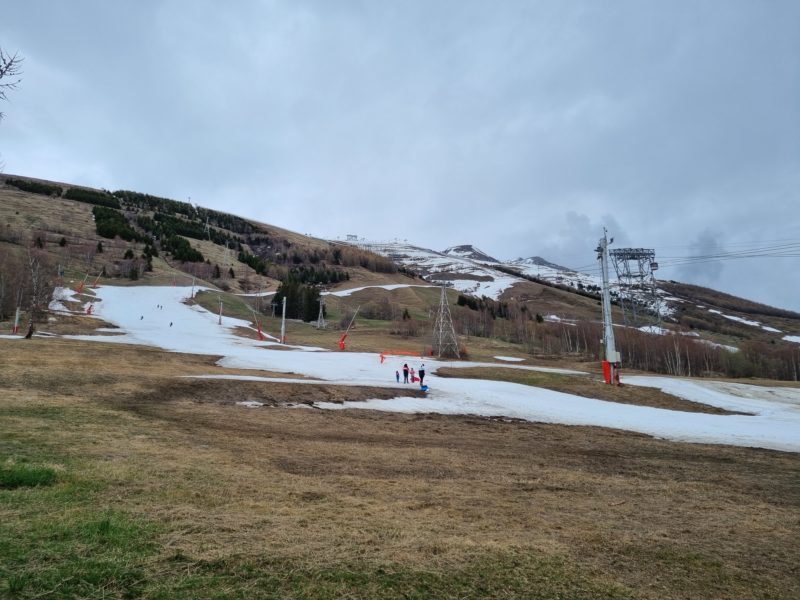
Skiing back to resort level in Les2Alpes – photo © PlanetSKI
Last week Jane was in Tignes and before that some of the less well-known resorts around Grenoble.
RELATED ARTICLES
- Transforming Tignes
- Skiing with a Legend
- PlanetSKI’s French Road Trip – Villard de Lans
- Fear & Fun on PlanetSKI’s French Road Trip – Les 7 Laux
- City & Ski on PlanetSKI’s French Road Trip – Chamrousse and Grenoble
Elsewhere around the Alps there is still plenty of skiing and events to be had as the season of 21/22 draws to a close.
As we mentioned there is some snow in the weekend forecast for the north-west Alps.
A weather system known as ‘Retour d’Est’ is predicted to pick up moisture as it passes over the Mediterranean and cause snow as it hits the Alps.
Earlier this week there were forecasts of up to 1m at altitude in places, but that has now been scaled back.
We shall wait to see what happens and report back.
Meanwhile, the PlanetSKI editor, James Cove, is currently travelling north.
A long way north.
He’s heading to Norway and into the Arctic Circle
He’ll be reporting over the weekend and beyond.
Watch this space….
