Heavy Rain Hits Parts of the Alps
4th December 2023
Last modified on December 10th, 2023
Early season has been generally very good especially at altitude. However the temperature is rising with rain falling in places as more resorts open. We also look at conditions in North America. UPDATED
Sunday 10th December
Parts of the Alps are seeing heavy rain at resort level and on the lower slopes.
We will have a full update later on how it has left the slopes.
The slalom race on Sunday in Val d’Isere was cancelled due to the rain and snow.
❌🌨️ Due to the present slope conditions after last night rain and snowfall, to ensure the safety of the racers, today’s Men’s slalom has been cancelled. 😔 #fisalpine pic.twitter.com/kJsa0PcmfK
— FIS Alpine (@fisalpine) December 10, 2023
More to follow…
Saturday 9th December
We will be updating on conditions in the Alps and elsewhere in Europe later this weekend.
But we start in North America, where we can report it has generally been a slow start to winter so far.
It’s looking decent in Jackson Hole in Wyoming, USA.
In Colorado, Utah and other US ski states it has been less good.
PlanetSKI has just arrived further north in Whistler, Canada.
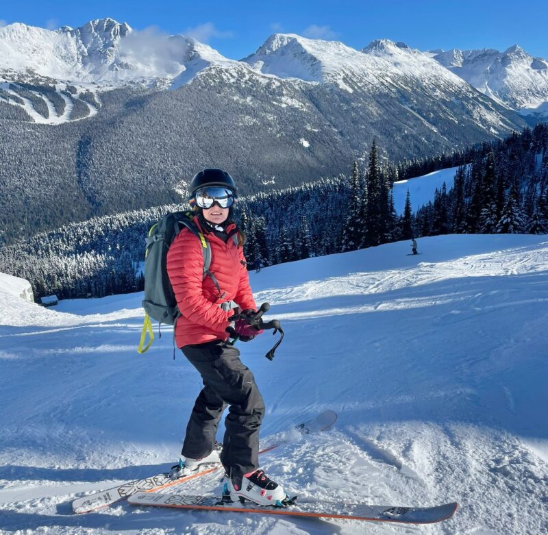
Whistler, Canada. Image c/o PlanetSKI
“Locals tell me it is not a bumper start to the the season so far,” said PlanetSKI’s Katy Dartford.
“Its a sunny day and quite cold with 16cm of fresh snow in the forecast so fingers crossed.
“But the slopes are busy and the season is underway here in Whistler.”
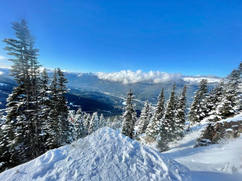
Whistler, Canada. Image c/o PlanetSKI
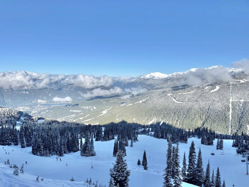
Whistler, Canada. Image c/o PlanetSKI
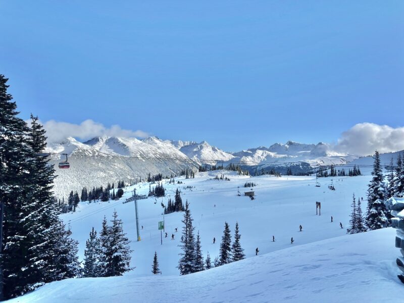
Whistler, Canada. Image c/o PlanetSKI
Here’s an overall picture from weathertoski.co.uk:
US
It is snowing today across many Colorado resorts, which is good news for the likes of Breckenridge (upper base depth 70cm) which also saw significant snow fall last weekend.
Over in California, Mammoth (50cm upper base) also saw a few centimetres of snow last night though US resort snow depths are generally below where they should be for the time of year.
Canada
Lots of Canadian resorts are partially open though snow conditions remain modest for now, with upper base depths of 77cm in Whistler and 72cm in the Banff/Lake Louise area.
Both resorts are expecting some light snowfalls over the next couple of days.
Katy will be updating us later from Whistler and we’ll also look at the Alps where it seems heavy rain is about to hit.
More to follow…
Friday, 8th December:
More storms are starting in the Alps, but sadly they will bring rain as well as snow as the temperatures rise.
On Friday some ski resorts in the western Alps will see around 10cm of snow, with the freezing level between 800m and 1,300m.
But over the weekend the freezing level is expected to rise to around 2,000m and the forecast says it will remain high into Monday and Tuesday next week.
“This means lots of rain is set to fall at lower and mid-level altitudes in the north-western Alps in particular early next week,” said the alpine weather expert Fraser Wilkin from weathertoskico.uk.
“Snow conditions in the Alps are generally excellent for now, though they will deteriorate in places lower down next week, especially in the northern French Alps, and northern and western Swiss Alps.”
PlanetSKI’s Jane Peel is currently in Bad Kleinkirchheim in Austria as its season begins.
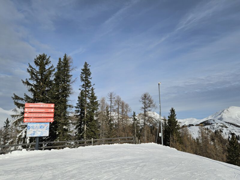
Above St Oswald in the Bad Kleinkirchheim ski area of Austria, Friday 8 December. Image © PlanetSKI
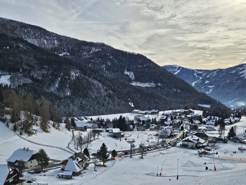
St Oswald in the Bad Kleinkirchheim ski area of Austria, Friday 8 December. Image © PlanetSKI
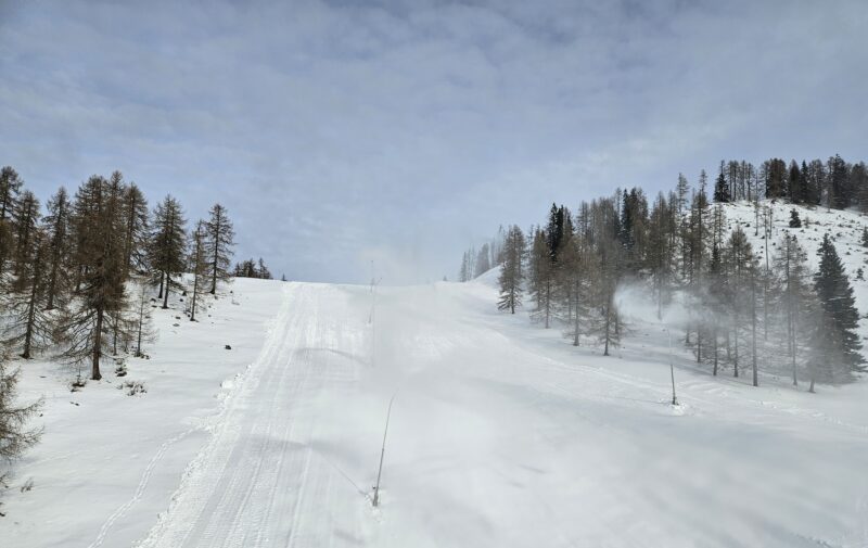
Snow cannons at work in St Oswald in the Bad Kleinkirchheim ski area, Friday 8 December. Image © PlanetSKI
Jane has been at an event in BKK to celebrate the 70th birthday of the legendary Austrian ski racer, Franz Klammer:
More resorts are opening in the Alps this weekend as the season gets underway.
Les Menuires in Les3Vallees is one resort set to open this weekend:
And others like St Anton are still clearing the snow.
Making Way for Winter Wonder: PistenBully in Action! ❄😍 #stantonamarlberg
🎥 IG @ simon.guem#arlberg #inTirol #austria #pistenbullyworld #pistenbully pic.twitter.com/aOjPHmVCtW— St. Anton am Arlberg (@StantonReview) December 7, 2023
Some of the latest images of the snow we have come from a PlanetSKI reader who is currently out on the slopes of Val d’Isere and Tignes in France.
He is doing an early season ski course with the Ski Club of Great Britain.
Early conditions are some of the best in recent years.
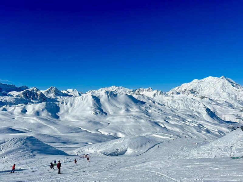
Val d’Isere/Tignes, France.
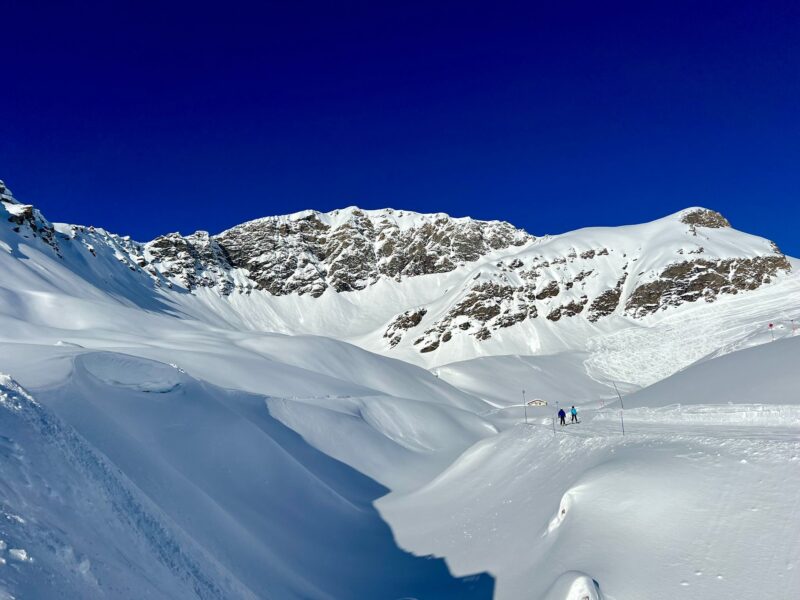
Val d’Isere/Tignes, France.
Thursday, 7th December.
Around 150 ski areas are now already open in the Alps, with more in the Pyrenees and Scandinavia.
The latest ski resort to open in the Alps is Sestriere in Italy in Vialattea (The Milky Way), that fired up some lifts today.
The area has missed out on some of the huge November snowfalls seen elsewhere in the Alps, but there has now been some recent snow, with cold temperatures helping with snow-making.
Vialattea will be operating an expanded schedule this winter with over 120 skiable days across five months, until Sunday 7th April.
It has eight constituent resorts across Italy and France:
- Sestriere
- Sauze d’Oulx
- Sansicario
- Cesana
- Claviere
- Pragelato
- Oulx
- Montgenèvre
It is the fourth largest continuous ski area in Europe, with 400km spread across more than 250 runs.
Sauze d’Oulx, Sansicario and Claviere open some slopes tomorrow, Friday 8th December.
Another resort opening today is Bad Kleinkirchheim in eastern Austria.
It opened with blue sky and clear weather.
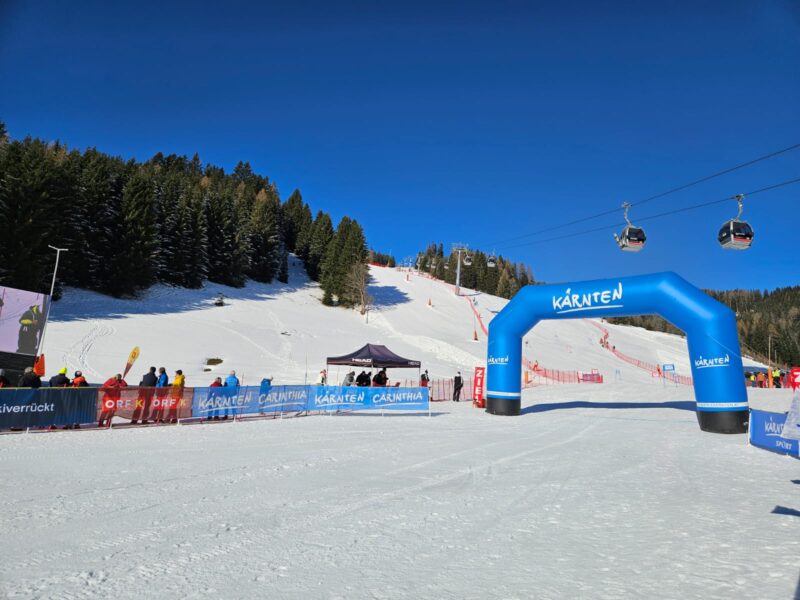
Bad Kleinkirchheim, Austria. Image © PlanetSKI
PlanetSKI’s Jane Peel is in the resort for a rather special event.
Do check back to find out what.
More to follow…
Wednesday, 6th December
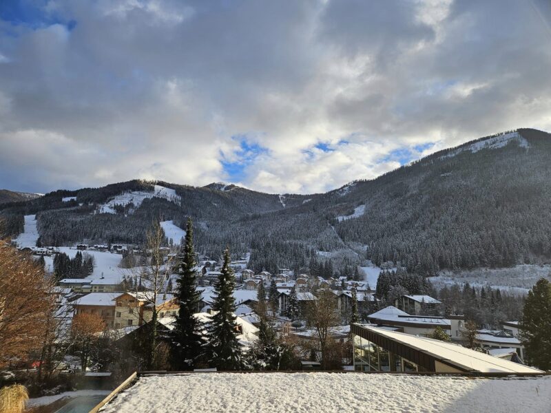
Bad Kleinkirchheim, Austria. Image © PlanetSKI
PlanetSKI’s Jane Peel will be reporting from Bad Kleinkirchheim (on that special celebration) later.
The weather has settled down after the turbulance of the past few days with more snow on its way to some places – likely starting on Friday.
It’s been a mostly cloudy morning in the central Alps of Austria and eastern Switzerland.
There have been a few snow flurries but they are dying out as the day progresses, with sunshine further south and west.
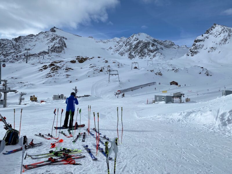
Pitztal, The Tirol, Austria. Image © PlanetSKI
“The next storm will reach the Alps on Friday, mostly affecting the far west and south-west (e.g. Isola 2000), bringing only modest quantities of snow,” said Fraser Wilkin from weathertoski.co.uk.
“Over the weekend and into the first part of next week, the threat of rain will also return to some northern and western parts of the Alps.”
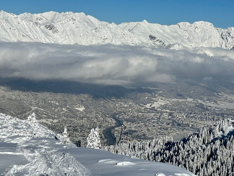
Ski touring in the Tirol. Image © Holger Gassler
So, how is the early season now looking?
“It is excellent in many areas at altitude but it remains about average for the time of year in the lower level resorts,” said the PlanetSKI editor, James Cove.
“The lower resorts are not opening for a couple of weeks so there is no great cause for alarm at this stage.
“All in all it has been an excellent November in the high resorts of the north western Alps in France and Switzerland, plus in parts of Austria.
“Generally, Italy has fared less well though there is good snow in Livigno and Cervinia.
“Now we are in December it is possible to talk of it being one of the best starts to winter in places in recent years.
“The key thing to watch at the moment is the temperature.
“If it remains cold then the snow at lower levels will stay, but if it warms up then some will melt and any precipitation will fall as rain.”
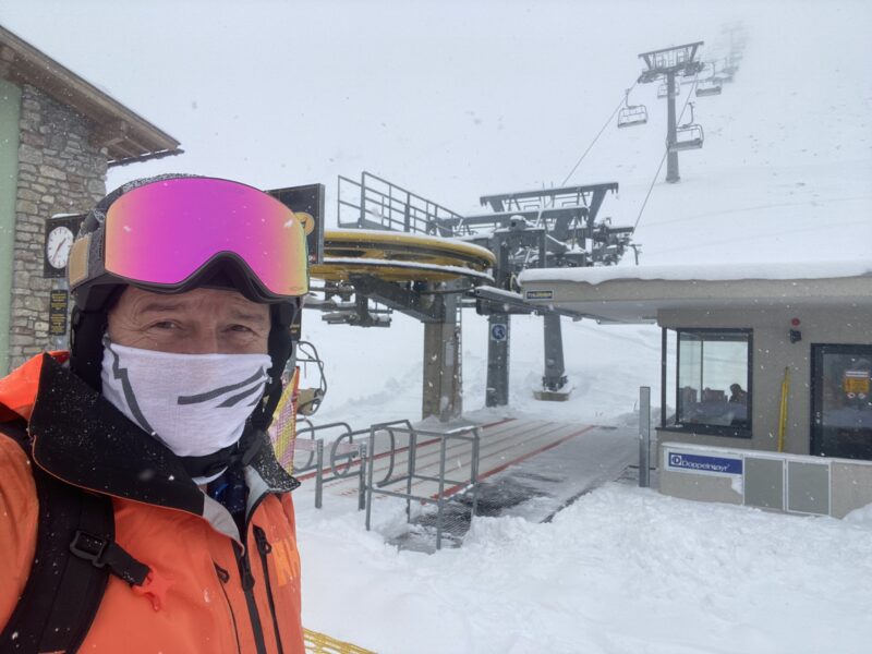
Kuhtai, The Tirol. Image © PlanetSKI
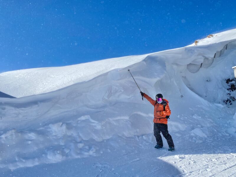
Snow in the Tirol. Image © PlanetSKI
Monday, 4th December
The good news for French ski resorts is that the latest storm is hitting the whole of the French Alps, including the southern Alps which has missed out on some of the recent snowfalls.
Resorts like Isola 2000 and others should see some snow, with 10 to 30cms by Tuesday.
There should be a bit of snow in western Switzerland and western Italy.
The storm will not make it as far as Austria, but Austria saw the best of the weekend snow as PlanetSKI reported direct from the Tirol:
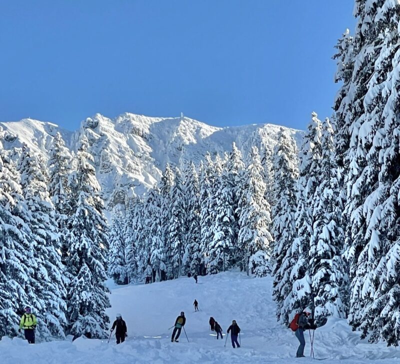
Ski touring in the Tirol. Image © Holger Gassler
“Snow conditions in the Alps are now generally excellent for early December, especially at altitude,” said Fraser Wilkin from weathertoski.co.uk.
“Lower down, however, depths are still modest in places, most notably in the south-western Alps (i.e. the southern French and south-western Italian Alps) but here, at least, there will be some snow today,” said Fraser.
Here at PlanetSKI we have been following the snow closely over the past few weeks:
- Yet another storm hits the Alps
- More snow falls with more resorts opening
- Good start to the season at altitude in the Alps
St Anton in Austria has just posed some claimed snow depths for its ski area:
#stantonamarlberg Schneehöhe / Snow Depth:
• Galzig – 220 cm
• St. Christoph – 115 cm
• Gampen – 105#arlberg #inTirol #skiresortlife #stchristophamarlberg #snowconditions pic.twitter.com/muhTC3kRgO— St. Anton am Arlberg (@StantonReview) December 4, 2023
Here was Val Thorens in France last night as the latest storm approached:
We will continue to follow the snow conditions, so do check back for the very latest…
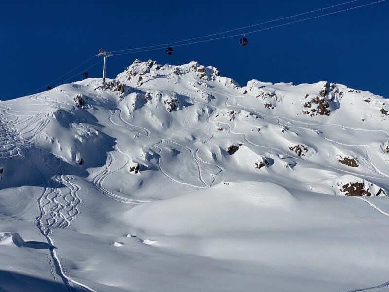
Kaunertal, Tirol, Austria. Image © PlanetSKI
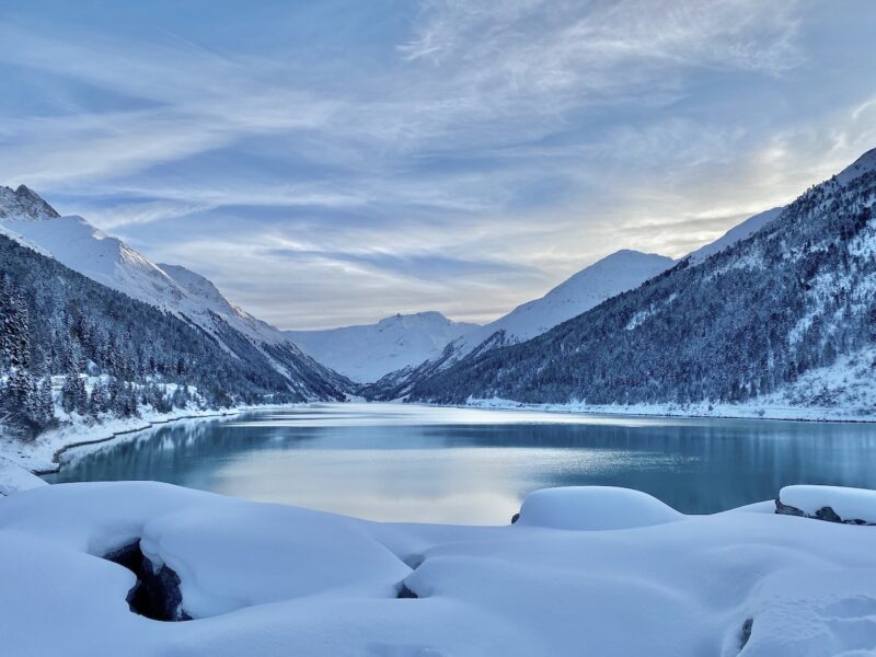
Kaunertal, Tirol, Austria. Image © PlanetSKI


