The Sun is Back in the Alps
11th December 2023
Last modified on December 17th, 2023
The recent storms have passed and the sun is back with temperatures fairly mild. We also report on conditions in North America. UPDATED
Sunday 17th December
PlanetSKI reporter, Simon Wilson, has arrived in La Plagne where dawn revealed some excellent conditions with snow piled up in the village of Belle Plagne.
“Sunny and mild weather forecast for next two to three days at least,” said Simon.
“It is freezing at resort levle but I am told it is -2c down in the valley with an inversion in place.
“There remains ‘considerable’ avalanche risk at altitude with the danger standing at Level 3 on a scale 5.
“Looks like most of the resort will be open today.”
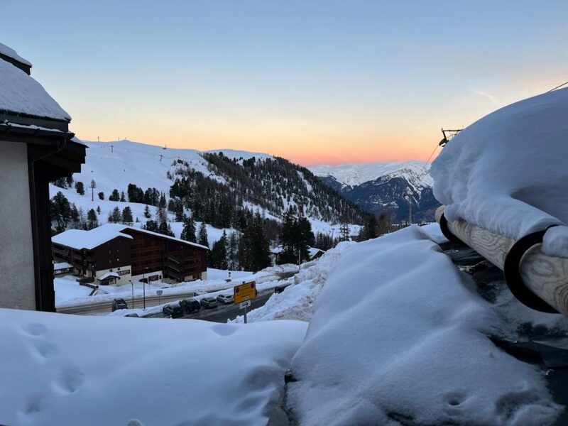
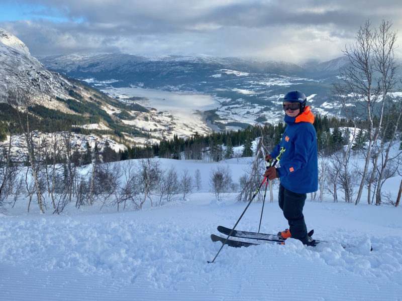
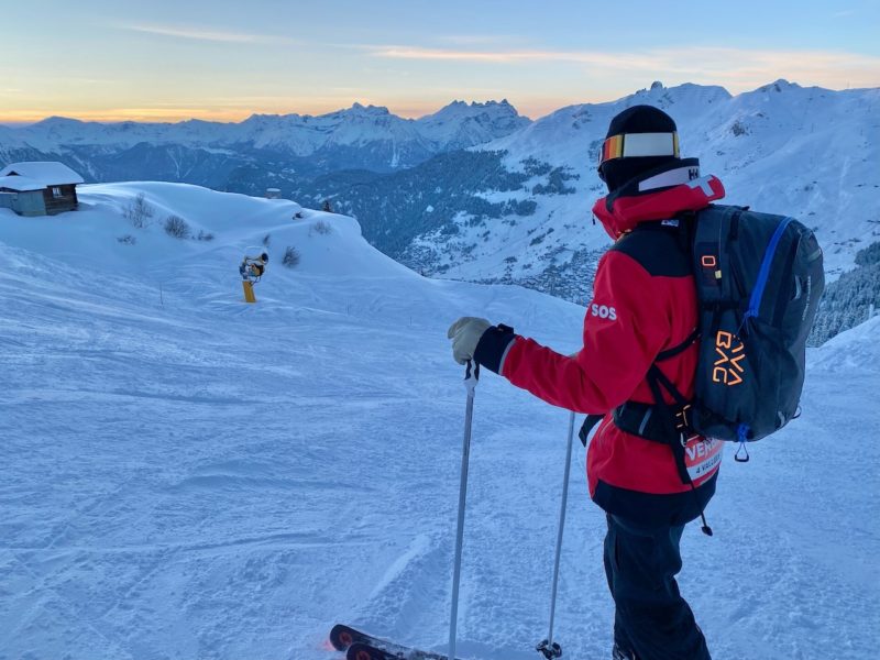
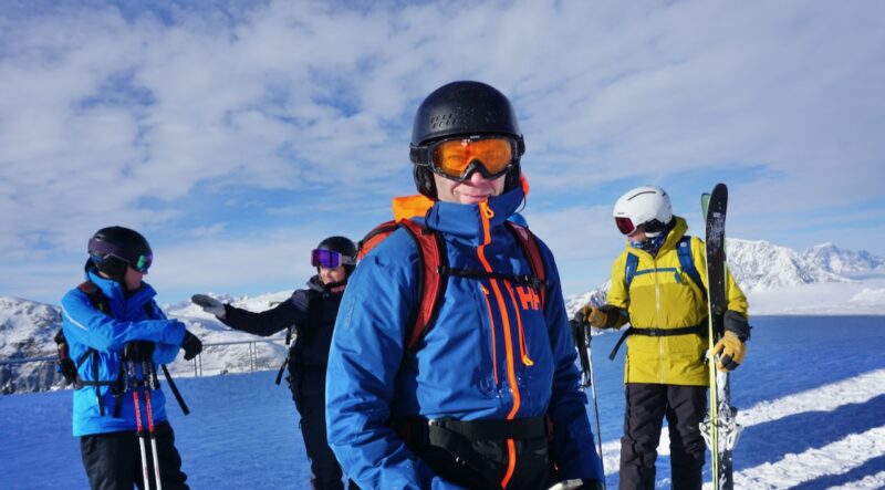
La Plagne, France. Image c/o PlanetSKI
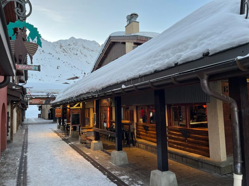
La Plagne, France. Image c/o PlanetSKI
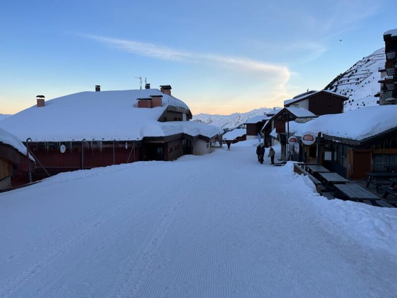
La Plagne, France. Image c/o PlanetSKI
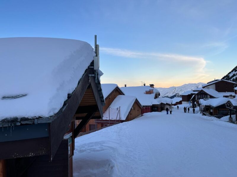
La Plagne, France. Image c/o PlanetSKI
More to follow…
Saturday 16th December
We’ll be updating on conditions in the Alps later this weekend, but first we turn our attention to North America.
Sunshine Village near Banff in Canada to be precise.
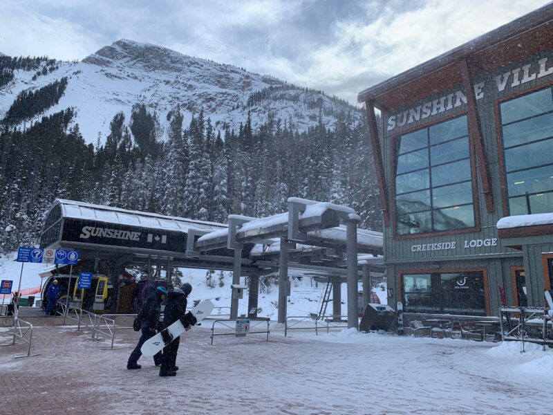
Sunshine Village, Canada. Image c/o Ross Young.
Our reporter, Ross Young, has just arrived.
“We arrived in Banff on Thursday evening to freshly fallen snow,” said Ross.
“The ski areas of Sunshine (3.5”) and Lake Louise (4”) both received a very decent dusting, which made for very good conditions at Banff Sunshine on Friday, our first day on the slopes.”
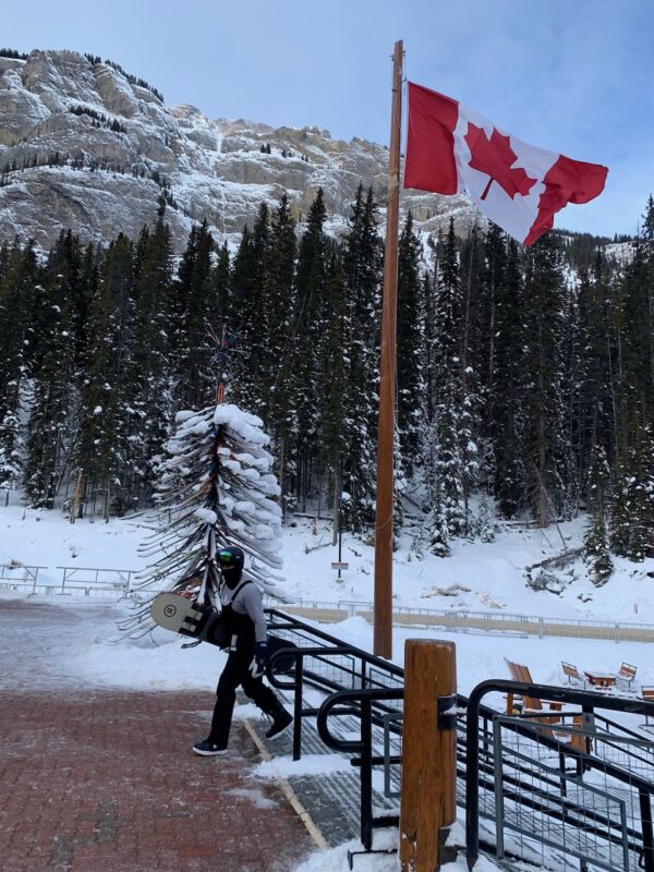
Sunshine Village, Canada. Image c/o Ross Young.
“Sunshine’s groomed runs are in excellent shape, and with 10 of its 12 lifts and 78 of its 138 pistes open, there was plenty of terrain to cover.
“Thanks to yesterday’s snowfall there was plenty of rewarding skiing to be had off-piste too, even though Delirium Dive, Sunshine’s signature freeride run, is currently closed.
“I’ll be checking out conditions in Lake Louise and Norquay over the weekend. I’ll keep you posted.”
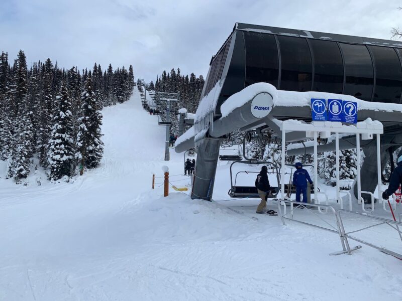
Sunshine Village, Canada. Image c/o Ross Young.
See here for our earlier round up on conditions in the USA and Canada:
And just in case you are wondering about the Alps, the sun is back.
Here’s Tignes in France:
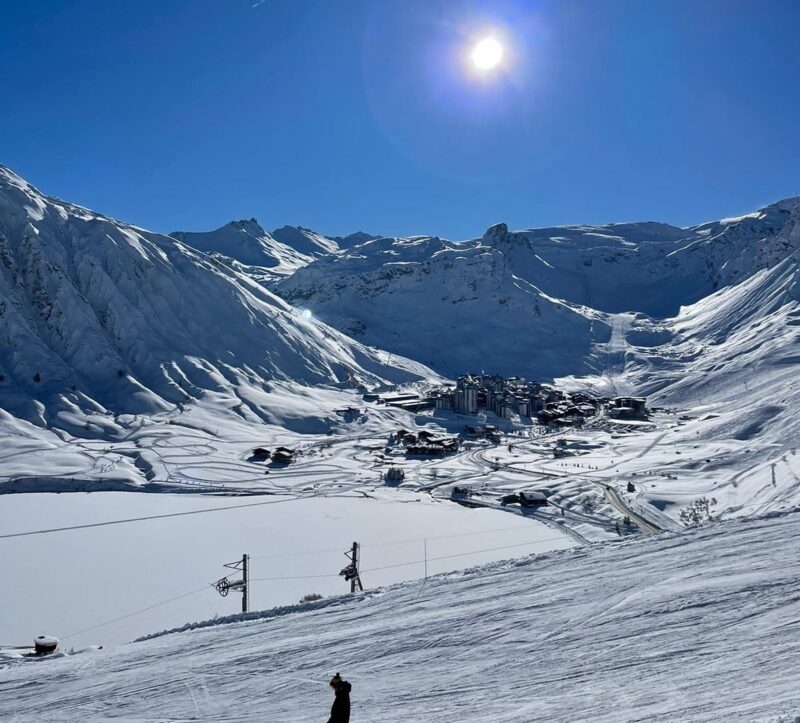
Tignes, France.
On Saturday evening PlanetSKI reporter, Simon Wilson, arrived in La Plagne.
“I arrived in Belle Plagne as night falling,” said Simon.
“There was no snow at all in valley and very limited snow cover below about 1400m.
“However loads of snow at 2,000m – more than I have ever seen in December in four decades coming here which all ties in with the weather reports that have been running on PlanetSKI.
“Locals are talking about epic conditions on upper slopes.”
Simon will be updating on Sunday.
More to follow…
Thursday 14th December
The sun is set to return to the Alps after the rain and snow storms of the past few days.
There will some further falls today but the temperature has dropped, so some lower areas will see snow rather than rain.
By the weekend it will be clear across the Alps as the first main week of the season begins.
We will be reporting from Europe and North America.
PlanetSKI reporter Simon Wilson is heading to La Plagne in France, with Vanessa Fisher reporting for us from Les Menuires in Les3Vallees.
The PlanetSKI editor, James Cove, will be in Norway, while Ross Young will be in Banff, Canada.
Overall the conditions are excellent for the time of year in the main resorts of the northern and western Alps at altitude.
However some lower resorts have been hard hit by the rain with resorts like Morzine having to put back their opening.
Resorts in the south and east Alps have modest totals of snow, but there is enough for many areas to open.
Artificial snow has helped many areas.
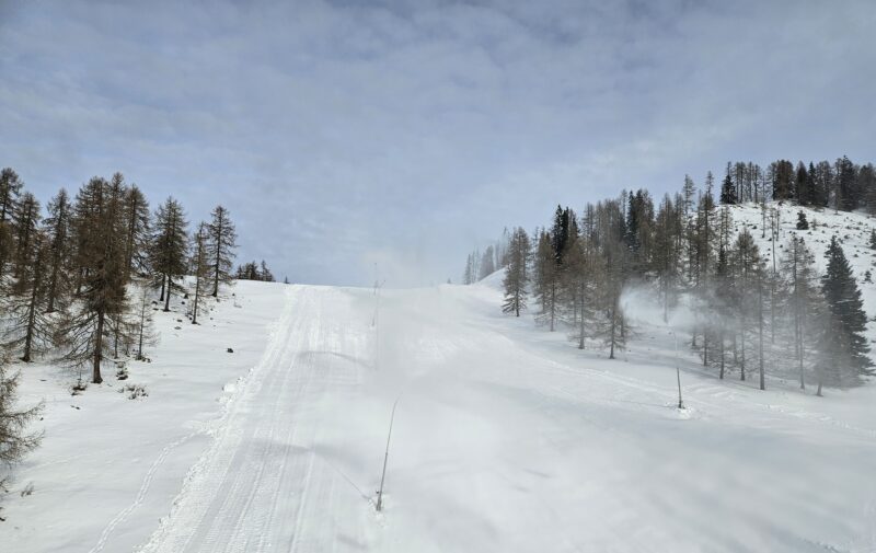
Snow cannons at work in St Oswald in the Bad Kleinkirchheim ski area. Image © PlanetSKI
We have a report from one of our readers in Verbier, Steve Sparks – an all-round top guy and friend of PlanetSKI editor, James Cove.
“We’ve survived the rain storms in the valley and conditions were stunning at lunchtime today,” said Steve on Wednesday.
“No one around and the pistes were sensational.”
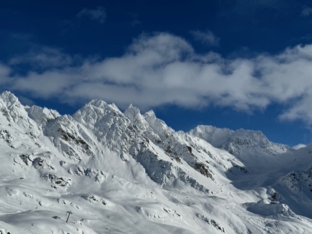
Verbier, Switzerland. Image c/o Steve Sparks
“Below 2,000m you could feel the effect of the rain, but a couple of days of piste bashing and the warm sunshine at the end of the week should sort that.
“People saying the best start to the season since the 1950’s – and even I don’t remember that long ago.”
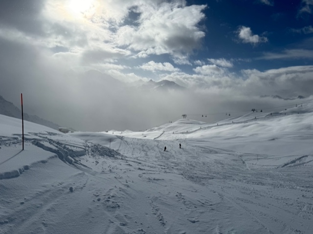
Verbier, Switzerland. Image c/o Steve Sparks
“The piste patrol is loading bombs for the Mt Fort sector. Lots of blasting today.”
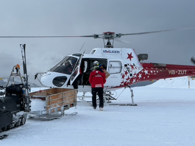
Verbier, Switzerland. Image c/o Steve Sparks
“All the 4V links open on Saturday, I’ll venture over on Monday and get some shots for you.
“Hope ya having a great time wherever you are James.
“I hear you are heading to Norway at the weekend.
“Don’t forget to come and see your Verbier mates soon, especially as it is your shout in the bar!”
Wednesday 13th December
Heavy rain in recent days has had a severe impact on the lower level ski areas in parts of the Alps with much snow washed away.
Some resorts are delaying their planned openings for this weekend.
Les Houches/St Gervais in France is the latest one to postpone.
“Due to unfavorable snow conditions, the opening of the Les Houches-Saint-Gervais area is postponed until Saturday December 23, 2023 at the latest,” the area said in a statement.
Morzine in France has also announced it will not be opening this weekend as planned.
It is the same in neighbouring Les Gets.
The temperatures in the north-west Alps are thankfully now dropping with the freezing level falling.
It has been raining up to around 2,500m in places in recent days, but the rain has now turned to snow at lower levels.
Overnight in some high altitude resorts in France there has been heavy snow.
In Tignes it was -2C this morning with an avalanche risk at Level 3 after the overnight snow.
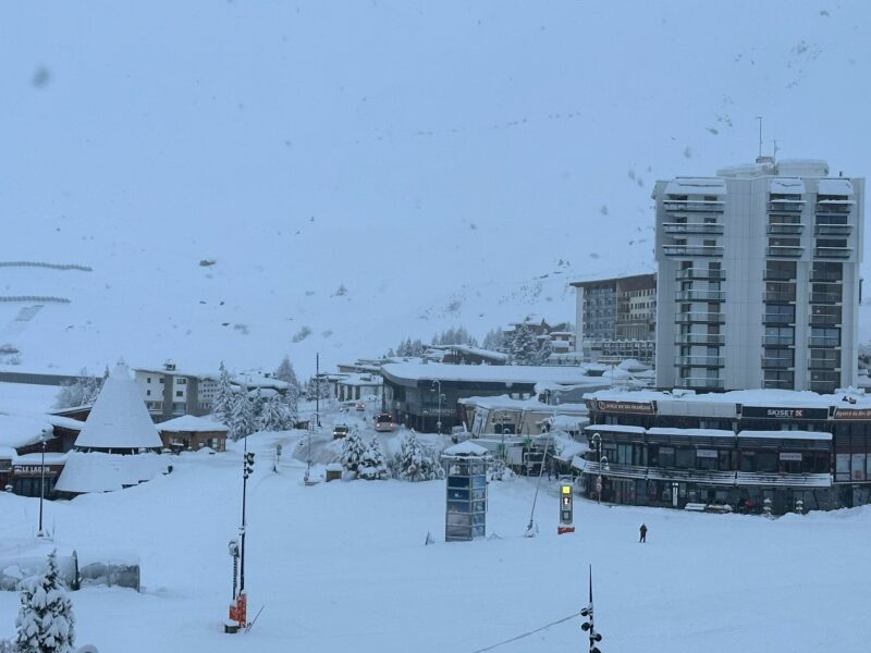
Tignes, France. Image c/o Adrian Lamb.
In parts of the French Alps the freezing level is now down to 1,500m
The new snow is falling on a very wet snow pack and as temperatures drop, the snow pack will freeze and is good news for the the next snowfall that will fall on a frozen base.
“The heaviest snow will fall across the northern Alps, especially in the northern Swiss Alps and northern and western Austrian Alps later today,” said our resident snow expert, Fraser Wilkin from weathertoski.co.uk, on Wednesday.
“The Dolomites, which have recently been largely dry, will also see some snow today.
Tomorrow any snow will be confined to the northern half of the Alps, especially the northern Swiss and Austrian Alps, with the southern Alps remaining mostly dry with long sunny spells.
“On Friday, some flurries will linger across the northern Austrian Alps, otherwise most regions will see fine weather.
“It should then remain fine everywhere this weekend, but with rising temperatures.”
We have just updated out report on conditions in North America.
PlanetSKI’s Katy Dartford is in Whistler, Canada:
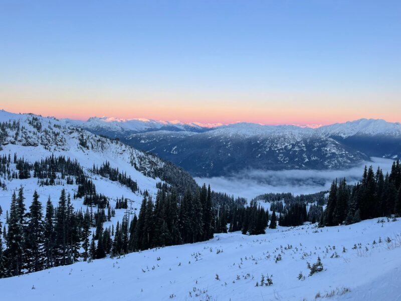
Whistler, Canada. Image c/o PlanetSKI
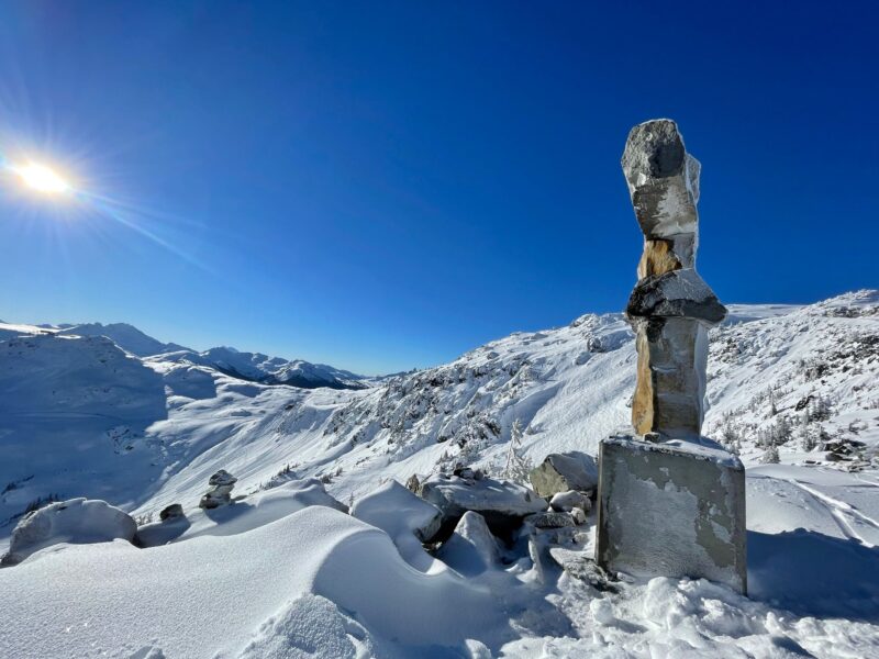
Whistler, Canada. Image c/o PlanetSKI
More to follow…
Tuesday 12th December
It’s another day of rain and snow in the north-western Alps.
The freezing level is set to drop on Wednesday, so some of the rain will turn to snow.
Today it is around 2,500m, but by tomorrow it could fall to as low as 1,000m in places.
Resorts such as Verbier, Engleberg, Chamonix, Les Arcs, Val Thorens and Tignes are seeing up to 1.5m of snow at altitude.
Once it clears and is made safe from avalanche conditions should be excellent.
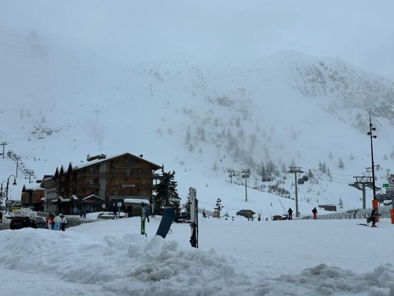
Tignes, France. Image c/o Adrian Lamb.
“The freezing level is around 2,500m at the moment,” said PlanetSKI reader Adrian Lamb from Tignes.
“It was snowing first thing, but turned to rain as temperature rose.
The avalanche risk has dropped to Level 3 here in Tignes, but is 4 across other areas and into Switzerland.”
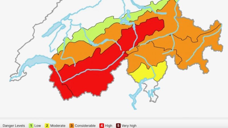
Avalanche danger in Switzerland. Image c/o Swiss Avalanche Institute.
The lower resorts in the Portes du Soleil and other areas have been taking a battering from the rain.
There are also flood warnings in place as some alpine rivers threaten to burst their banks.
Towards the end of the week the rain and snow will ease off in the north-western Alps, with temperatures remaining warm.
More to follow…
Monday 11th December
Updated:
The heavy rain is continuing to wash away the lower snow in the north-west Alps though at high altitude (over 2,500m) heavy snow is falling.
The latest report we have comes from PlanetSKI reader Adrian Lamb who is in Tignes, France.
“There has been heavy rain today in the resort and it is still raining,” Adrian said later afternoon on Monday.
“The freezing level is at 2,700m here in Tignes”.
It is not a pretty picture.
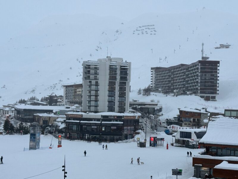
Tignes Le Lac, France. Image c/o Adrian Lamb.
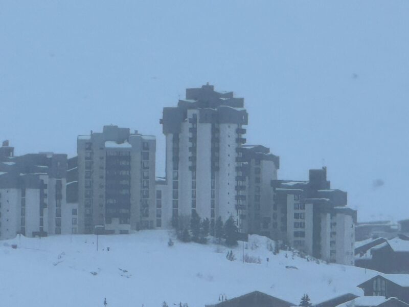
Tignes Val Claret, France. Image c/o Adrian Lamb.
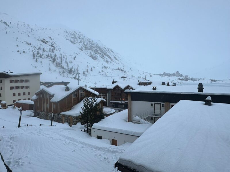
Tignes, France. Image c/o Adrian Lamb.
Parts of the Alps are seeing heavy rain at resort level and on the lower slopes – mainly in the west and north-west.
The good news is that at altitude, above 2,500m or so, there could be well over 1m of snow once the storm passes.
It has left a dangerous situation for avalanches in some areas.
In Tignes in France the risk was “High” (Level 4) on Monday morning with many lifts shut due the risk of wet snow slab avalanches.
“There was heavy snow overnight, and then rain this morning,” said PlanetSKI reader, Adrian Lamb, who is in the resort.
“Avalanche risk is 4 with much blasting going on.”
Extreme caution is urged for anyone going even slightly outside the marked runs.
Adrian is on a ski course with the Ski Club of Great Britain that includes off piste training and avalanche awareness.
The World Cup slalom race on Sunday in neighbouring Val d’Isere was cancelled due to the rain and snow.
The International Ski and Snowboard Federation, FIS, said the race could not start “due to the present slope conditions after last night’s rain and snow to ensure the safety of the racers.”
❌🌨️ Due to the present slope conditions after last night rain and snowfall, to ensure the safety of the racers, today’s Men’s slalom has been cancelled. 😔 #fisalpine pic.twitter.com/kJsa0PcmfK
— FIS Alpine (@fisalpine) December 10, 2023
Sunday’s women’s World Cup super-G race in St. Moritz, Switzerland, was also cancelled.
In St. Moritz, heavy snowfall on Saturday night made the Corviglia course unsafe, following two days of speed racing on Friday and Saturday.
“It was quite a lot of snow last night,” said FIS Chief Race Director Alpine Women Peter Gerdol on Sunday.
“The minimum was 20cm, there were some spots where it was over 40cm.
“The snow really covered the whole course and the race line that we kept quite clean until last night, but at the end this new snow destroyed the base.
“In a couple of hours, it’s impossible to get this base hard enough to make a safe race.”
The rain and snow is set to continue into Wednesday.
“Between Sunday and Wednesday we are expecting a lot of rain in the northern French and western Swiss Alps in particular, with the rain/snow limit rising to 2400-2700m,” said Fraser Wilkin from weathertoski.co.uk at the weekend.
“As is normally the case in these rainy warm front situations, the further south and east you are in the Alps, the less problematic any rain will be, with the Dolomites, for example, avoiding it completely”.
See the latest on weathertoski.co.uk.
We have been following the weather closely on PlanetSKI in recent weeks as the season gets underway:
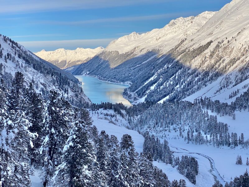
Kaunertal, the Tirol, Austria. Image © PlanetSKI
We have also been looking at the situation in North America with PlanetSKI’s Katy Dartford currently in Whistler, Canada:
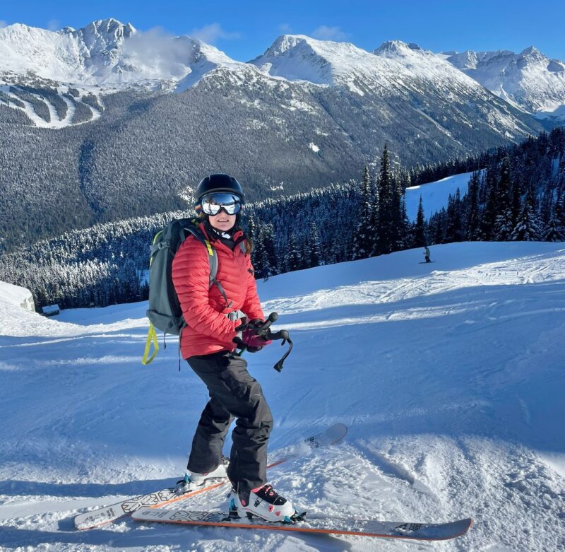
Whistler, Canada. Image c/o PlanetSKI
More to follow…
