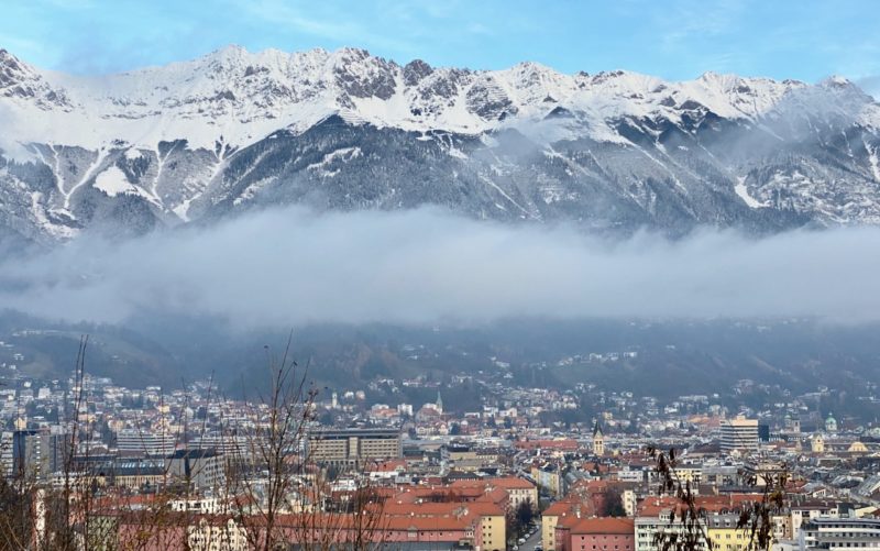
PlanetSKI Snow Report
11th February 2024
Last modified on February 18th, 2024
Saturday 17th February
Whisper it quietly, but this time next week parts of the Alps could be in the middle of a significant storm with large amounts of snow set to fall at the weekend.
It is still some way off so forecasting is not yet accurate enough to make firm predictions, but we are keeping our fingers crossed and already making plans for a visit to the north-western Alps (Les3Vallees & Verbier) that could see some of the best of it.
“To say a big storm would be welcome is something of an understatement as new snow has been fairly sparse these last few weeks though there has still been some very good piste skiing at altitude,” said PlanetSKI’s James Cove.
“All eyes will also be on the all-important temperature to see where snow falls, and where rain does.
“Here at PlanetSKI we are watching things closely as we plan for a possible visit as it looks very much odds on for significant snow across most of the Alps next weekend onwards,” James added.
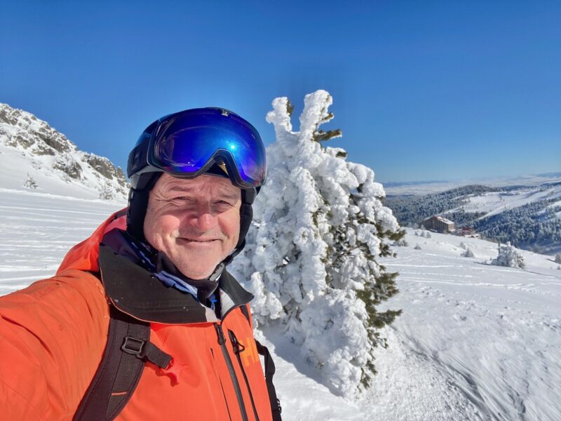
James in the powder. Image © PlanetSKI
More to follow…
Friday 16th February
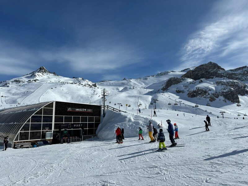
PlanetSKI reader, Adrian Lamb, has been in the resort of Ischgl in the Tirol in Austria all week.
“The upper slopes in Ischgl are in great condition and this image is from Idalp at 2,300m.”
Ischgl, Austria. Image c/o Adrian Lamb.
“10 cm fell overnight on Monday and that helped the pistes.”
Ischgl, Austria. Image c/o Adrian Lamb.
“Warm temperatures have taken their toll with the lower slopes to the village hit by changing weather conditions at 1,400m. Warm today on Thursday – Idalp 6C.
“Overall, the half-term conditions are really good with a combination of artificial and soft snow, but in the valley it is hard going at end of the day.”
Ischgl, Austria. Image c/o Adrian Lamb.
And it’s looking pretty good in nearby St Anton in the Tirol.
“I can confirm that St Anton and Ischgl have amazing conditions,” said another regular PlanetSKI reader, the ski instructor Toby Fishel.
“I was guiding a private group up there this week and got some amazing powder in St. Anton.”
More to follow…
Thursday 15th February
More than half way through the first of the half term school holiday weeks and the weather across the Alps is mild and mostly dry.
If you’re in one of the lucky spots that saw a nice – if modest – top of the snow over the weekend, then you should find some decent conditions on the slopes.
And some sunshine.
There’s no immediate sign of more significant snow.
“It will remain mild and mostly fine in the Alps for the rest of this week, however, weak weather fronts will never be far away from the north, and these will finally introduce some showers or flurries to some northern areas by the weekend,” said alpine weather expert Fraser Wilkin of Weather To Ski, on Wednesday.
“Significant snow is not expected until the weekend of 23-25 February at the earliest though.”
There’s also some decent skiing in Scotland where cold temperatures and some snowfall arrived just in time for half term.
Our Scotland reporter, Rod Frazer, has been our on the hill at Glencoe.
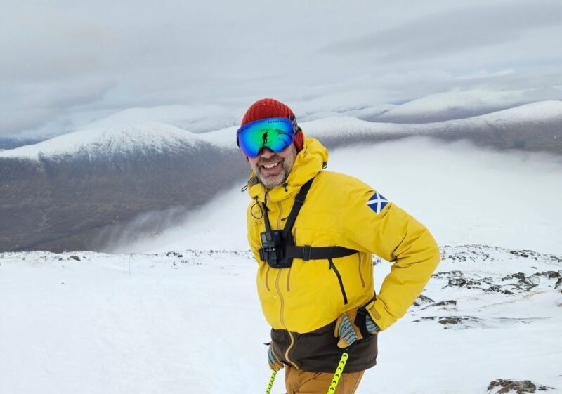
Rod Frazer at Glencoe. Image c/o Rod Frazer
Tuesday 13th February
Some snow has fallen and it is very welcome after the dry spell of recent weeks.
See here for our report from the end of last week as the change in the weather was forecast:
It is not quite as much as was hoped for as the storm approached from the south-west.
The south-west Alps saw the best of the snow, though some has fallen in the north-west too.
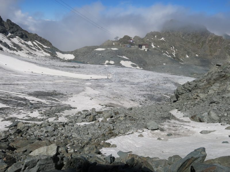
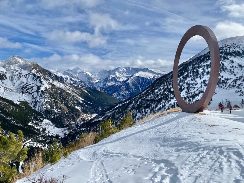
There remains good depths of snow at altitude in many parts if the Alps where the major resorts are situated.
Verbier in Switzerland has 390kms of its 410 slopes open and one of our regular readers, Valais Dude, is back in the area and posted on social media on Sunday.
A time of turbulent weather in the #4Vallees of Valais. Temperatures and snow line going up and down. A couple of colder days are now in prospect pic.twitter.com/WeRAbrenp5
— Valais Dude (@ValaisDude) February 11, 2024
By Tuesday the sun was back.
A beautiful bluebird day across the 4 valleys pic.twitter.com/ZkwZM6pF7q
— Valais Dude (@ValaisDude) February 13, 2024
The best snow depths this half-term week are to be found at altitude:
- The northern French Alps – Tignes, Val d’Isere, Val Thorens.
- The Arlberg in Austria – Lech, St Anton.
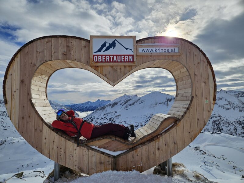
- Other high Austrian resorts – Obergurgl, Kaunertal, Obertauern.
The weather is set to be unstable this week with just a few flurries of snow in places, but nothing really worth talking about.
There should be some decent sunshine too.
It is looking better in the Pyrenees too after a recent lean spell.
In North America there remains some mixed conditions.
In parts of the USA heavy snow is still falling in California, Utah and Colorado.
“Strong wind over the past few days, along with heavy dense snowfall, has created very dangerous avalanche conditions,” said a statement from the Utah Avalanche Centre at the weekend.
There are some decent conditions in Jackson Hole in Wyoming.
In Canada the poor winter continues.
The snowpack in British Columbia is almost 40% lower than average.
The province’s latest snow bulletin says levels remain “very low” at 61% of normal, compared to 79 % of normal this time last year.
The bulletin shows the snowpack is especially sparse across the South Coast, ranging from 30% of normal on Vancouver Island to 47% in the Lower Fraser region.
The Stikine region in northwestern BC has the highest snowpack in the province at 90% of the average.
![]()
![]()