PlanetSKI Snow Report
18th February 2024
Last modified on February 25th, 2024
Sunday 25th February
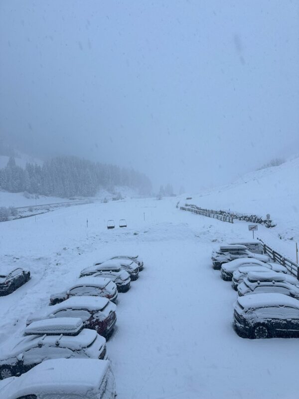
Well, the snowfall in the Alps has been rather good and delivered what the forecast promised.
Much of the Alps has seen some fresh snow over the past 48-hours.
Over half a meter in places.
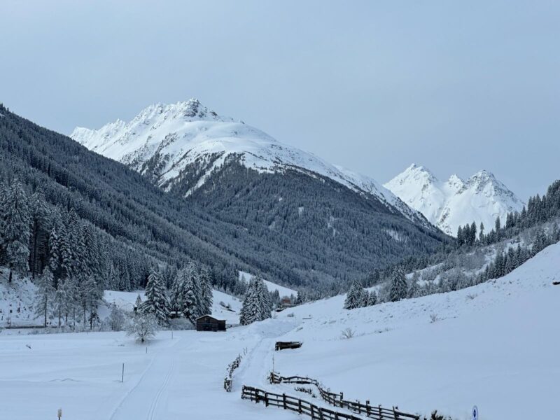
Anyone flying into Innsbruck in the Tirol in Austria this weekend would have been pleased as their plane touched down.
Snow at 600m.
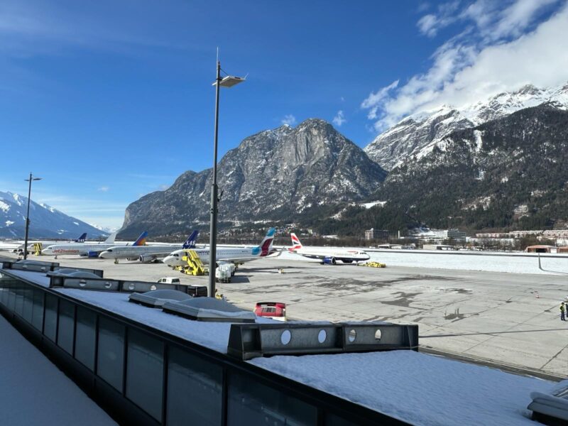
Innsbruck, Austria. Image c/o Adrian Lamb.
The resorts in Austria, along with parts of Italy, have seen some of the best of the snow.
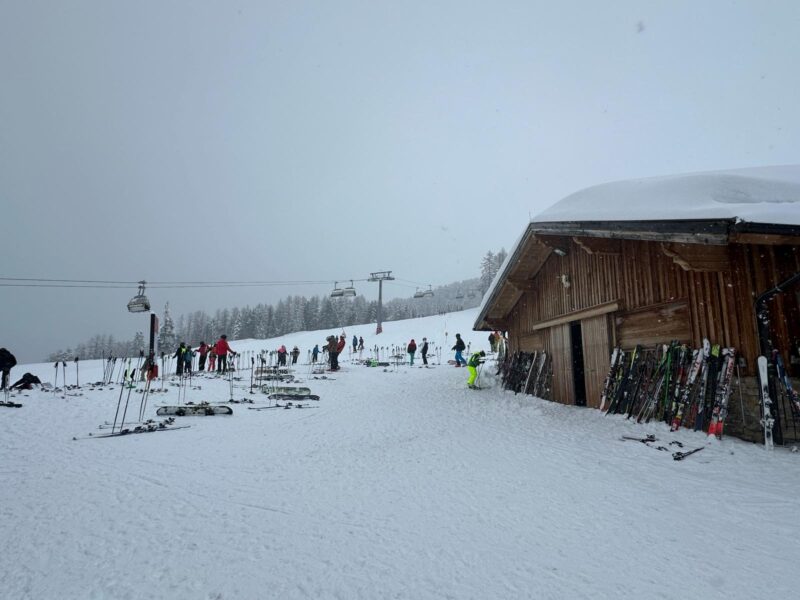
Ischgl, Austria.Image c/o Adrian Lamb.
But it has been none too shabby elsewhere.
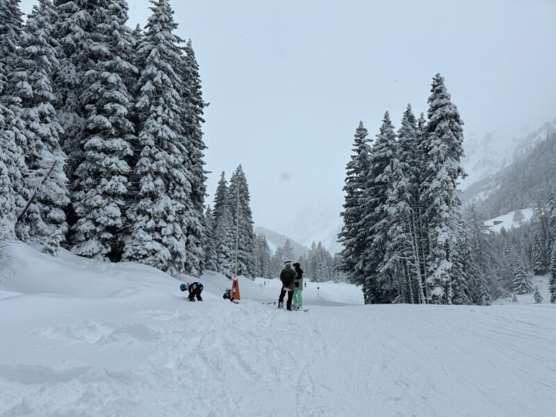
Sainte Foy, France. Image c/o Premiere-Neige.
Image c/o Morzine Tourist Office.
Sadly, it is about to warm up again as the temperature yo-yos around, but lets enjoy what we have after a lean spell.
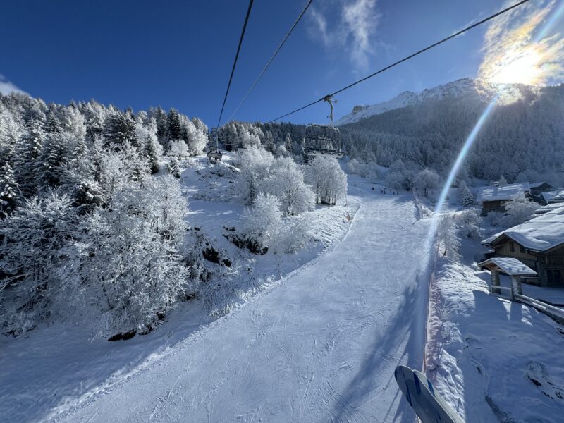
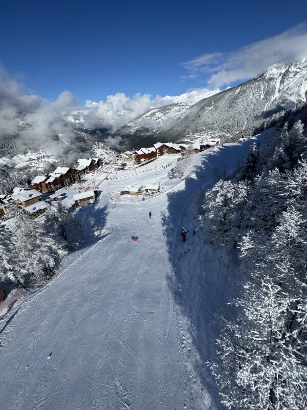
PlanetSKI editor, James Cove, is heading out to Les3Vallees in France and will be arriving on Monday.
Then it’s a 6-week PlanetSKI road trip across France, Switzerland, Austria and Italy heading to where the best snow is.
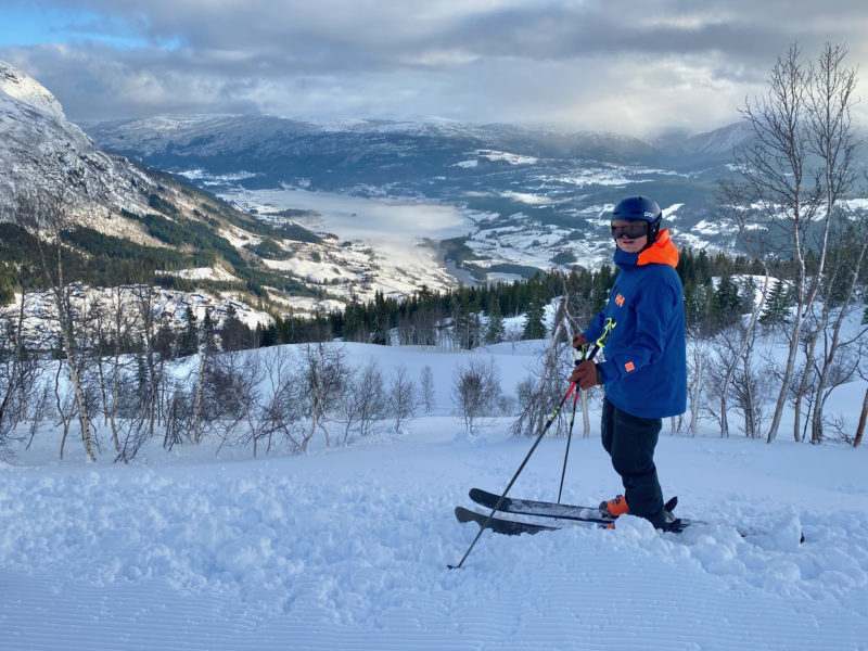
Our chief reporter, Jane Peel, is in Trysil in Norway all of this week, where this winter has been rather good for snow.
While reporter, George Eykyn, will be reporting from St Anton.
And if you want to see what conditions are like in the resorts around Banff in Canada:
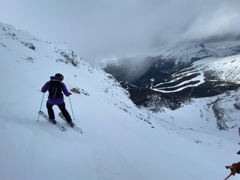
Sunshine Village, Canada. Image c/o Marie Taylor.
More to follow….
Saturday 24th February
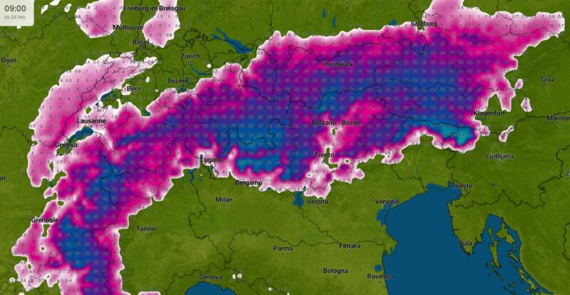
Heavy snow has been falling in parts of the Alps with Austria and Italy seeing the most of it.
Around 15-30cm of new snow has fallen above 2000m across much of the French, Swiss and north-western western Italian Alps with a few centimetres at lower altitudes too.
According to weathertoski.co.uk, the region that has seen the most is the south-eastern quarter of the Alps, including the Dolomites (e.g. Arabba), southern Austria (e.g. Nassfeld), Lombardy (e.g. Livigno) and the far south-east of Switzerland (e.g. St Moritz).
There has been between 30-50cm of fresh snow at altitude, with up to 60cm in some places.
Here’s the scene in Ischgl in the Tirol in Austria this morning:
Ischgl, Austria.Image c/o Adrian Lamb.
It follows a day in the powder yesterday for the lucky ones.
Ischgl, Austria.Image c/o Adrian Lamb.
“Temperatures set to rise with a fohn on the way in Ischgl,” said PlanetSKI reader, Adrian Lamb from Ischgl.
“At least no rain forecast, but considerable freeze/thaw possible and potential for avalanches.
“Level 3 in Austria at moment, that’s ‘considerable’.
“Pisteurs set off a few avalanches yesterday.
“The explosions were huge and you heard the thunder like rumble of the avalanches in the still alpine air.”
In Italy Saturday’s women Super G World Cup race in Val di Fassa in the Dolomites has been cancelled due to the ‘huge amount of snow from the past 24 hours’.
We’ll be updating this report throughout the day so do check back.
And if you want to read more as the storm hit then take a look at our full report from Friday:
Friday 23rd February
There is some very, very welcome snow in many areas of the Alps after a poor winter so far in places, especially at low altitude.
Here’s Morzine that hasn’t seen as much snow as it would have liked this winter.
Morzine, France. Image c/o Morzine Tourist Office.
Morzine, France. Image c/o Morzine Tourist Office.
Morzine, France. Image c/o Morzine Tourist Office.
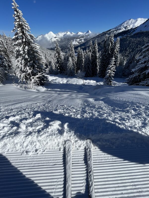
It’s looking good in Sainte Foy too where PlanetSKI will be next week.
Sainte Foy, France. Image c/o Premiere-Neige.
It is even better further east in Austria that has seen some of the best of the snow so far.
PlanetSKI’s Adrian Lamb is in Ischgl in the Tirol.
Ischgl, Austria.Image c/o Adrian Lamb.
“The cloud level was down to nearly village level this morning and snowing heavily,” said Adrian on Friday.
“The temperature at Idalp 2,300m was -6C.
“Approximately 30 cm of fresh snow has fallen at 2,000m since very early morning.
“It has been snowing all day and is forecast to carry on into the evening.”
Ischgl, Austria.Image c/o Adrian Lamb.
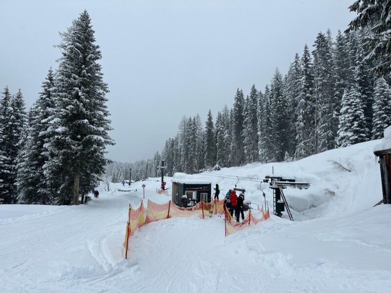
Ischgl, Austria.Image c/o Adrian Lamb.
It is looking rather good elsewhere in Austria.
Here are some more images we have been sent from Morzine in France – a resort that has had a pretty rough time of it this season with all the rain and fluctuating temperatures.
Well, not any more.
Image c/o Morzine Tourist Office.
Image c/o Morzine Tourist Office.
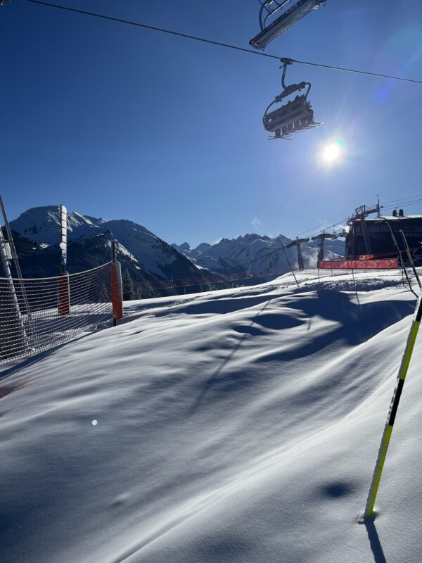
Image c/o Morzine Tourist Office.
Sainte Foy in France is also looking good today as the sun came out after the snow:
Sainte Foy, France. Image c/o Premiere-Neige.
Sainte Foy, France. Image c/o Premiere-Neige.
Sainte Foy, France. Image c/o Premiere-Neige.
The temperatures in the Alps dropped sharply overnight and the rain that fell in places on Thursday turned to snow.
“It is a depressing picture watching heavy rain fall,” said one of our readers from Bosel in the Les3Vallees on Thursday afternoon.
“But according to the forecasts it will soon turn to snow,” he added.
And so it has.
Here was the scene in Ischgl in the Tirol first thing on Friday morning.
Ischgl, Austria. Image c/o Adrian Lamb
Austria is set to have decent snowfall today.
Only in Voralgerg will it ease, but otherwise snow is set to fall across much of Austria.
Italy too will see further snow today before the sun returns at the weekend.
The French and Swiss Alps are expected to receive between 20cm and 40cm of fresh snow.
Much of the Alps should see some snow over the next 24-hours with the snow level dropping to below well 1,000m.
The best amounts are due to fall in the southern Alps.
Some central-southern and south-eastern regions such as St Moritz, Livigno, Passo Tonale and Cortina could see up to 50cm.
There are clear skis in the western Alps after the overnight snow and today should be a cracker.
It is already looking promising in the 4 Vallees in Switzerland.
Valais looking mighty fine after yesterday’s snow dump. Up high in 4 Valleys 20-30cm pic.twitter.com/1wZS35l5dB
— Valais Dude (@ValaisDude) February 23, 2024
PlanetSKI is heading off to the Alps on an extended road trip this weekend – France & Switzerland first and then we’re visiting Austria & Italy.
Our first stop is Les3Vallees in France, where things are looking up:
Livraison de neige fraîche ce matin 😍
📍 Courchevel, 1850 pic.twitter.com/cbBfHVFP2V— Les 3 Vallées (@3Vallees_france) February 23, 2024
Then it’s Sainte Foy:
#powderday in #saintefoy #villaroger #4VillaFR pic.twitter.com/eopP33ITcu
— Skivillaroger (@skivillaroger) February 23, 2024
Followed by Morzine:
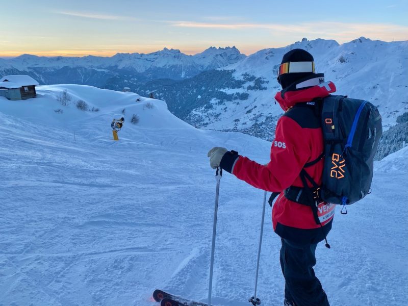
Then we’re hoping to swing by Verbier:
Here at PlanetSKI we are watching the weather closely and will be reporting across the day as the snow falls and the picture becomes clearer.
It’s all looking rather good, finally:
Source: Imweahter.com
And lets not forget the Pyrenees where some welcome snow has also fallen.
Or Jackson Hole in Wyoming, USA:
Pillow fight 👊 during last week’s cycle that put us over 300” on the season!
⛷️: (1) Wyatt Gentry (2) Lalo Rambaud
📸: Luke Gentry@salomonfreeski @MammutNA #jacksonhole pic.twitter.com/oN9L2qhrYp— Jackson Hole (@jhski) February 22, 2024
And if you are tempted to head to the snow there are some great deals and last minute availability with Inghams and others.
See the PlanetSKI Deals and Discounts page for more.

Image copyright PlanetSKI
Do check back…
Thursday 22nd February
The snow is back:
More to follow…
Wednesday 21st February
Most of the Alps can expect at least some snow over the next few days, and it now looks like the southern Alps will see the best of it.
It is mostly dry today, and tomorrow will see some changeable weather though it is still warm for February.
Later on Thursday and into Friday the temperatures are forecast to drop with the freezing level falling to between 400m and 800m.
Many areas should see up to 30cm of snow above 1,500m.
Some central-southern and south-eastern regions such as St Moritz, Livigno, Passo Tonale and Cortina could see up to 50cm.
“Looking even further ahead, it seems likely that the weather in the Alps will remain cool and changeable early next week with further snow for some, the heaviest of which will again fall in the southern Alps,” said Fraser Wilkin from weathertoski.co.uk
“Snow conditions will obviously improve in many areas over the next few days, particularly in the southern Alps.
“However, the lack of snow at low altitudes remains an issue and at this time of year it takes a lot of snow to rebuild any base.”
Tuesday 20th February
Snow has started to fall in the Alps ahead of the larger storm forecast for later in the week.
LIVE🔴 #Verbier#valdebagnes #valais #switzerland #snow #ski pic.twitter.com/hOKCasu1dj
— Verbier (@VerbierResorts) February 20, 2024
Monday 19th February
Well, this is looking rather good.
Snow is on its way later this week in decent amounts, at least at altitude – we’ll have to wait and see what it delivers, but PlanetSKI is on its way to the north-western Alps this weekend.
“The weather in the Alps is changing, with significant snow likely to fall across much of the Alps by the weekend,” said Fraser Wilkin from weathertoski.co.uk
“The big storm cycle that has got everyone talking will then start to make its presence felt late on Wednesday and will continue to influence the weather in the Alps for several days.
“Most of the precipitation will initially fall in the western Alps, with the eastern Alps also getting involved by Friday.
“The weather will then continue very unsettled through the weekend by which point most of the Alps should have seen significant snow, at least at altitude.
At altitude the conditions have been good despite the recent lack of fresh snow.
One such area is the Arlberg in Austria – home to St Anton in the Tirol.
❄️ Schneehöhe / Snow depth (total):
Valluga 375cm, Galzig 360cm, St. Christoph 240cm, Rendl 165cm, Gampen 160cm#stantonamarlberg #inTirol pic.twitter.com/Zv6xQpijrb— St. Anton am Arlberg (@StantonReview) February 19, 2024
❄️ Carving through 20cm of fresh snow, leaving a lone trail in the untouched powder. Witness the art of making first tracks in a winter wonderland. 😊 #stantonamarlberg 😍#arlberg #inTirol #snowcondition #freeride #freestyleskiing pic.twitter.com/6OlE4Hmv9R
— St. Anton am Arlberg (@StantonReview) February 20, 2024
Sunday 18th February
The mild temperatures are continuing in the Alps as the week gets underway, but the temperature is about to drop.
There’s some snow already falling, with much more in the forecast.
It is due to start snowing later in the week and all eyes will be on the temperatures as that determines where the freezing line will be – rain or snow?
It looks like it could be a decent storm with snow coming down in many areas of the Alps.
PlanetSKI reader, Adrian Lamb, is in currently Ischgl in the Tirol in Austria.
“With the warm temperatures, over the last few days, the sun-exposed runs have become icy in places after cold nights,” said Adrian Lamb at the weekend.
“More snow is now needed to restore snow conditions.
“Temperatures are due to fall here this week.”
Ischgl, Austria. Image c/o Adrian Lamb
Another regular reader who goes by the name of ‘Valais Dude’ on X, formerly known as Twitter, is in Switzerland.
Blasted over @verbier4Vallees today – pleasingly few people on a changeover day and some fantastic skiing to be had #Valais #Switzerland pic.twitter.com/Lhm70xmJpX
— Valais Dude (@ValaisDude) February 17, 2024
So folks, keep the snow dances going and your fingers crossed.
Change is on the horizon.
We’ll be watching things closely here at PlanetSKI over the next few days, not least because we’re heading to the Alps for this weekend as the fresh snow falls.
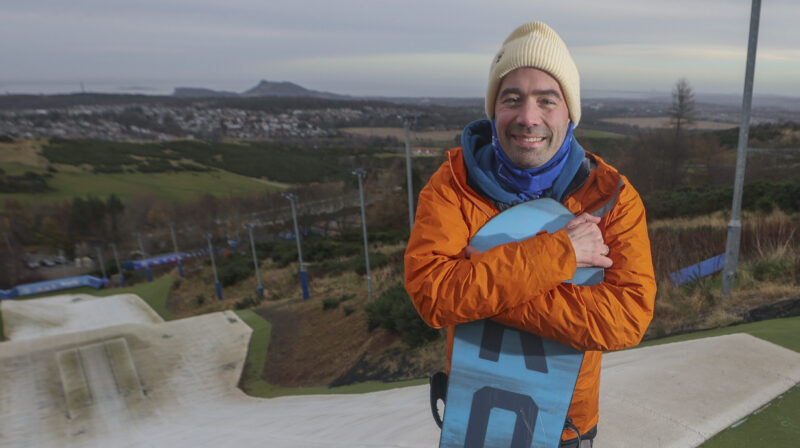
We’ve been having a London office clear out these past few days with more than a bit of ‘paper shredding’.
Six bin liners in total.
We’re hoping to be doing a bit of ‘ski shredding’ soon.
On those six babies behind the bins liners.
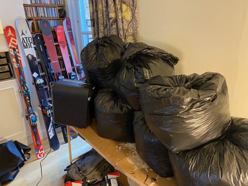
‘Shredding’. Image c/o PlanetSKI.
We’re going equipped for every option.
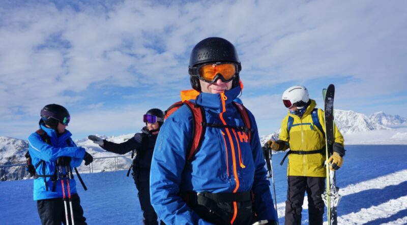
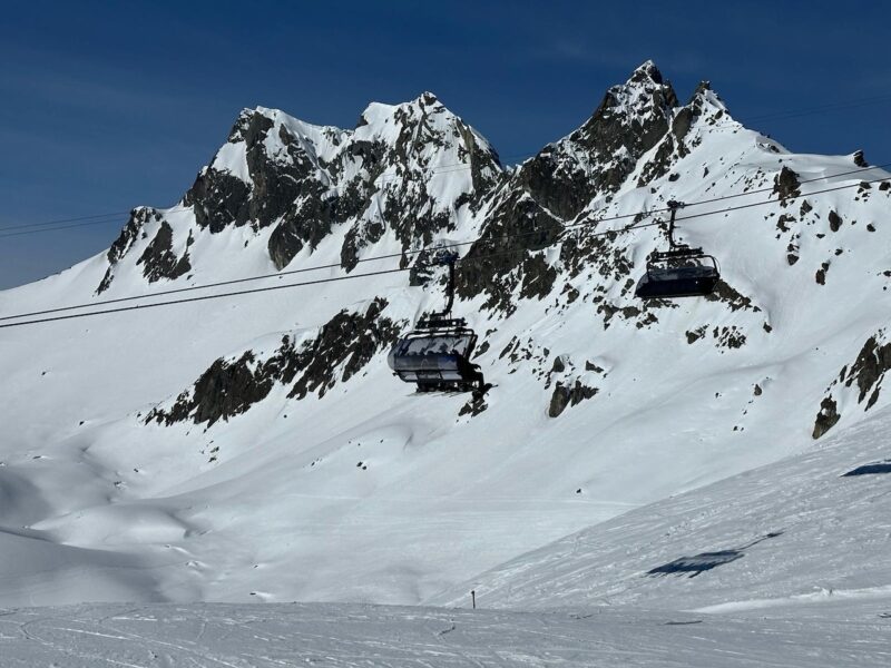
PlanetSKI is out in the Alps for the next six weeks – France, Switzerland, Italy and Austria.
![]()
![]()