Heavy September Snow Hits the Eastern Alps
16th September 2024
Last modified on September 17th, 2024
Austria has seen the best of the autumn snow with up to 2m falling in places. The glaciers resorts are benefiting, but there have been severe downsides in the Alps and elsewhere in Central Europe. UPDATED
It often snows at altitude in September, but the levels seen over the past few days in places have been unprecedented.
The snow has now eased off leaving some clear skies above the Austrian Alps – the area that has seen most snowfall.
It fell to as low as 700m, with almost 2m in some places at altitude.
Now things are looking more like mid-winter than mid-September.
“Although occasional (mostly) high-altitude snowfalls are nothing unusual in September, this degree of storm is not something we have seen this early for many years and it will probably end up dumping record snowfalls (for the time of year) across some parts of Austria,” said Fraser Wilkin from weathertoski.co.uk as the storm hit over the weekend.
“Many other Alpine regions have also seen significant snow at altitude, but it is mostly in Austria where the early winter onslaught appears unusually severe.”
Here is the scene now the storm has passed in more of the alpine areas in Austria:
The Austrian ski area of Hochkonig near Salzburg decided to seize the moment and open one of its lifts.
The Arthurhaus T-bar ferried dozens of skiers and snowboarders up the hill to make their first turns of the approaching season.
The area is hoping to keep the lift running until the weekend.
The Austrian ski resort of Obertauern saw some of the largest falls over the weekend:
❄️ Dans les Alpes autrichiennes, on atteint parfois un mètre de neige comme ici à Obertauern vers 1700 mètres ! En plaine, des inondations commencent à apparaître. 🌧️ (© Andis Skihotel) pic.twitter.com/9gjlqRVzt8
— Météo Express (@MeteoExpress) September 14, 2024
Summer 14-09-24 🤔 #Obertauern right now. Photocredit Winfried Veil @winfriedveil pic.twitter.com/WsY2iA50n3
— Johanns (Alpen)weer (@Alpenweerman) September 14, 2024
Obertauern Salzburgo Austria🇦🇹
❄️❄️80 cm‼️
📹 Via Marco Kaschuba FB
pic.twitter.com/la7duDGNFi— Meteosojuela La Rioja (@meteosojuela) September 14, 2024
It’s been a similar picture in other ski areas in Austria.
Zaterdagochtend 14 september 2024 Schlegeis Stausee, #Dominikushütte. en het blijft maar
sneeuwen! 📷 Heiko Lapp FB pic.twitter.com/zhf8loHUMg— Johanns (Alpen)weer (@Alpenweerman) September 14, 2024
We reported on the snow as it started to fall and have been updating over the past few days.
See here as we tracked the storm’s progress on PlanetSKI:
The storm has brought avalanches, transport problems and flooding across the Alps, Austria and into Central Europe as we have reported in this related article into the impact of Storm Boris:
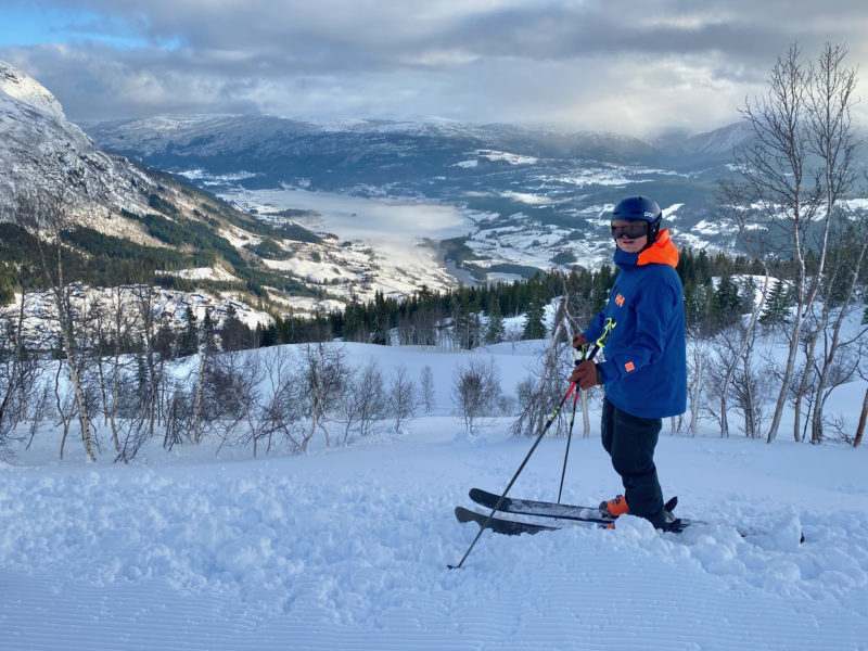
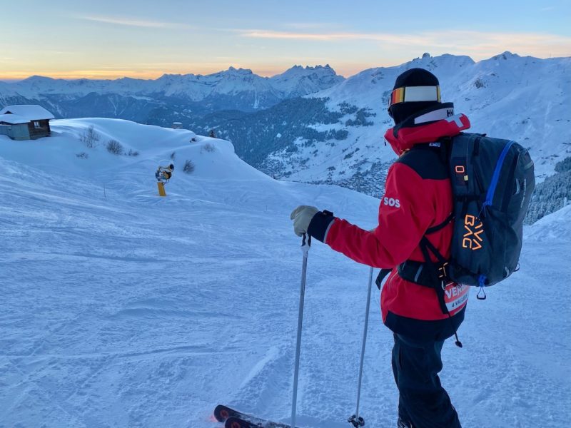
Further west into France and Switzerland there has been snow in the ski resorts over the past few days, but nothing like the amounts in Austria.
Here’s Verbier:
See here for PlanetSKI’s recent report on what’s new in Verbier this winter:
Here’s Val Thorens:
1st snow in Les Diablerets ! ⌗winteriscoming ⌗sorslesskisdelacave pic.twitter.com/iXCeMxuozp
— Denis Balibouse (@denisbalibouse) September 13, 2024
The current weather in the Alps has been caused by cold polar air from the north interacting with a very warm Mediterranean sea to the south.
It has been so severe for two reasons:
- The position of the storm has pulled in colder air from the north to mix with moisture drawn up from the unusually warm waters of the Mediterranean and the Black Sea.
- The low pressure has been slow moving and has been stuck in a blocked weather pattern, meaning the storm is trapped between high pressure to the west and the east.
Ski resorts have had summer/autumn activities affected with closed lifts and evacuation orders in place.
Much of the snow will melt and it will have little bearing on the approaching ski season, but it will have an impact on the handful of glacier areas in the Alps that are currently open.
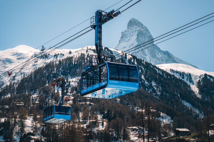
- Zermatt, Switzerland
- Saas-Fee, Switzerland
- Hintertux, Austria
- Passo Stelvio, Italy.
The glacier above Zermatt can also be reached from Cervinia in Italy.
Other resorts in Austria are opening later this month and early October.
Stubai has received 50cm of snow and is opening this coming weekend, September 20th.
Pitztal is planning to open its glacier area a week later on September 28th.
Kaunertal hopes to follow the next week on October 4th.
The weather in Kaunertal has now cleared and the resort reports that 30cm has fallen.
The snow is very welcome and now it will be all hands on deck to clear the snow and prepare for some fantastic winter openings in just a few weeks time.
Here at PlanetSKI we’ll keep you posted, but do bear in mind the suffering Storm Boris has brought:
![]()
![]()