Big Snowstorm Finally Hits the Alps
8th January 2023
The forecast snow has started and there are indications that up to 50cm may fall in some places. UPDATED
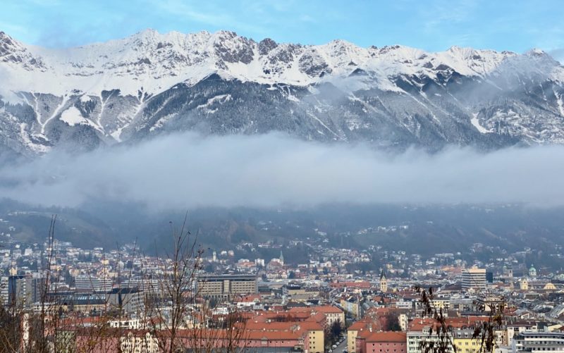
At last snow is falling in the Alps.
Here is the latest from Meribel in Les3Vallees:
It’s looking good in Verbier too.
It started in the south-western Alps, spread north and then hit further east into Austria as Sunday progressed.
Between 20-40cm is expected above 1,800m by the end of Monday across a wide swathe of the Alps, with more than 50cm in places.
There is snow over in Austria and in the Dolomites in Italy too.
The heaviest snow is falling at altitude in the northern French Alps.
Though it is coming down in the southern French Alps too.
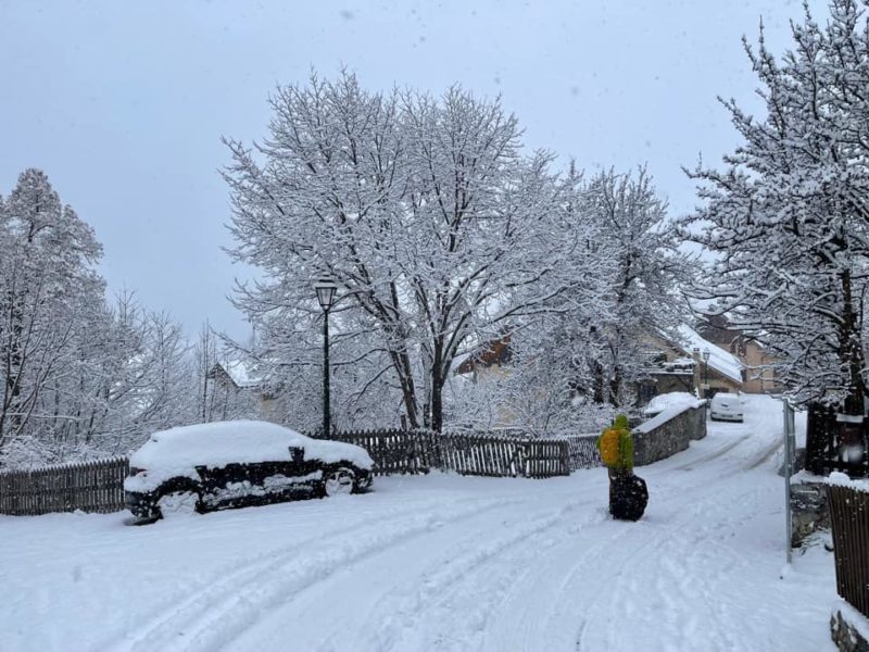
Serre Chevalier, France. Image c/o Kathryn Chester
Some of the low-level resorts are in desperate need of snow as their slopes have been bare after rain washed away the snow over the New Year holiday period.
Resorts in the Portes du Soleil have been struggling and they are now, finally, get some snow.
“It is snowing right now! It was snowing higher up over night and as of about 10.30 (9.30 UK time) has been snowing down to the village,” said Sara Burdon from the Morzine tourist office to PlanetSKI on Monday morning.
“The snow is due to keep falling over this afternoon.
“This is obviously a huge relief and will help improve the quality of the pistes that are open.
“Currently around 60% of the Avoriaz pistes have stayed open and are still accessible from Morzine village via the Super Morzine gondola, and also via les Prodains, a 10 minute free bus ride from the centre.
“In terms of the areas that have been closed, these will require a few days work to get pistes prepared and ready to welcome skiers.
“We’ll know more once we see how much snow falls today and over the next few days, and will keep updating information on our website.”
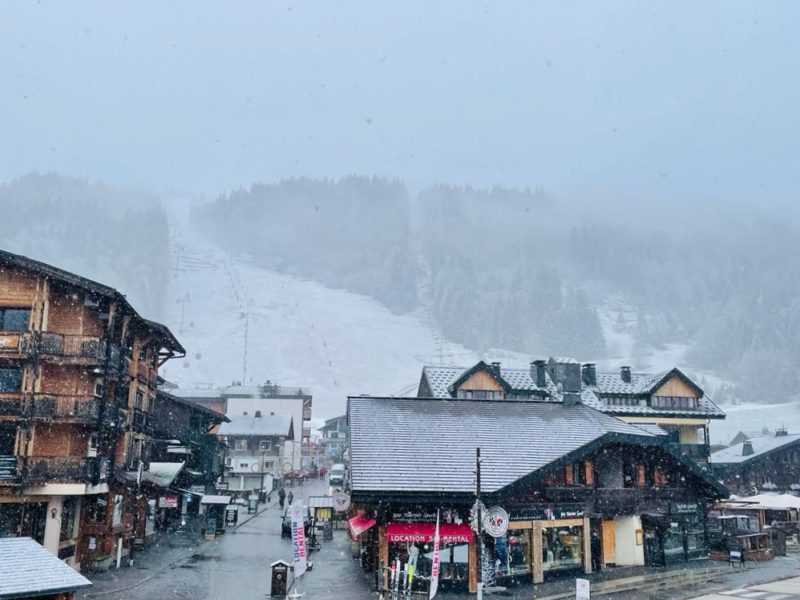
Morzine, France. Image c/o Morzine Tourist Office.
Much better. Derborence Lake Refuge – Wallis (Valais) 🇨🇭 pic.twitter.com/4Fq75zYC5s
— Johanns (Alpen)weer (@Alpenweerman) January 9, 2023
The current snowfall has been widely forecast.
It is been coming down at resort level in Verbier in Switzerland, with some PlanetSKI readers sending in images and videos.
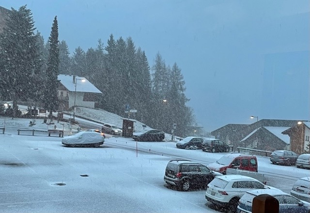
Verbier, Switzerland. Image c/o Heather Jefferies
Regular PlanetSKI reader and local ski instructor, Neal Wardman, has posted this video on his way up the mountain on Sunday morning.
Here at PlanetSKI we are particularly interested in Verbier as that’s where we are heading on Tuesday for a week or so.
Seems the timing couldn’t be better.
One of the key things will be the temperature.
Mmm hmm – it’s started. Temperature will be critical over the coming week but upper slopes seem guaranteed lots of fresh snow 🤞🏻 pic.twitter.com/W5x9zlXAIA
— Valais Dude (@ValaisDude) January 8, 2023
The freezing level was at about 1,500m on Sunday morning but dropped down to around 1,000m by the middle of the day.
With the snow now falling the UK ski operators and agents are reporting a rise in enquiries and bookings.
“Bookings are already getting busier, as customers who have seen the forecast call to book ahead of the expected scrum on Monday,” said Richard Sinclair of SNO.
And lets not forget the Pyrenees.
It has also seen poor snow conditions recently and now that is changing too.
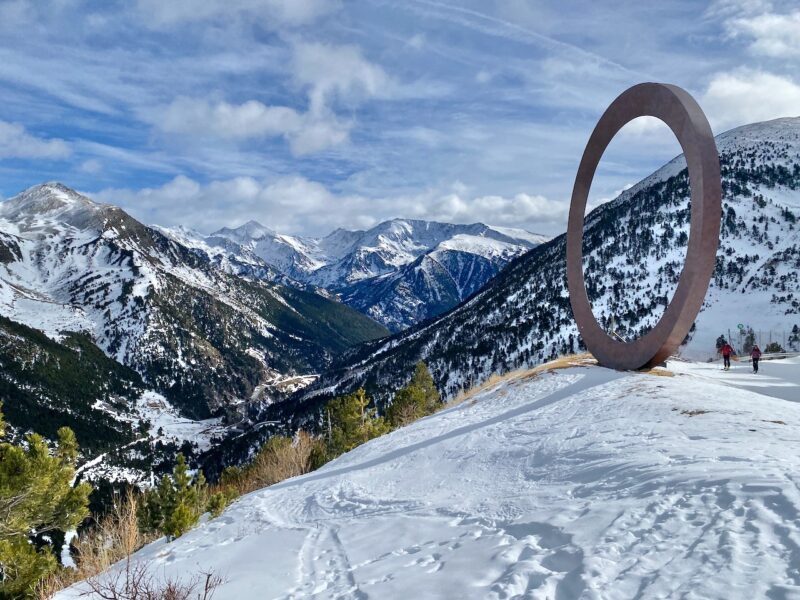
Here’s Arcalis in Andorra on Monday morning:
BON DIA❄️❄️❄️
09/01/2023 #ordinoarcalis #ordino #andorra pic.twitter.com/EkQZn2RGwW— Ordino Arcalís (@OrdinoArcalis) January 9, 2023
We will be updating this story as the snow falls so do check back.
And do keep the snow dances going as this needs to be a big fall of snow across the Alps to get winter back on track.
There is forecast of further snow later in the week.
Snow forecast from Sunday 8th January to 24th January 2023… snow levels look set to improve @wxcharts
🤞🤞🤞 pic.twitter.com/qnCzLcaTU7— PlanetSKI Snow News (@planetski) January 8, 2023
Related Articles:

PlanetSKI logo

