It’s All White Now!
10th January 2023
Last modified on January 13th, 2023
The big snowstorm across the Alps has delivered. The low altitude ski areas that had been very bare have turned white at last. Resorts are breathing a sigh of relief, though many could still do with more. UPDATED
UPDATED,
Friday 13th January
It’s looking good in the forecast.
There should be a series of storms moving into the Alps from the north-west.
They may bring bring huge amounts of snow to some parts of the Alps from Sunday onwards.
Some forecasts predict up to 1m by the middle of next week.
Next week could be a cracker:
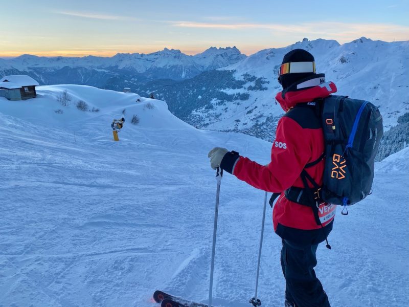
PlanetSKI’s editor, James Cove, is currently in Verbier in the north-west Alps which will be in the heart of the snow.
“We had some fresh snow first thing this morning which freshened up the pistes and provided a few powder turns too,” said James on Friday.
“But the real talk of the resort is what may happen next week with further storms predicted.”
James is staying in Verbier all next week so look out for his reports.
In the meantine it is looking pretty darn good.
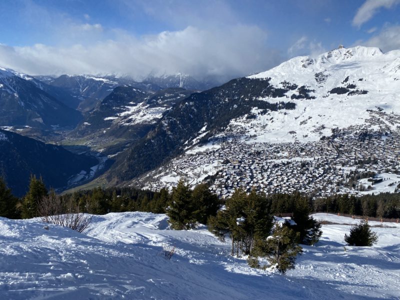
Verbier, Switzerland. Image c/o PlanetSKI
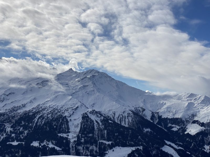
Verbier, Switzerland. Image c/o PlanetSKI
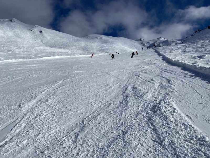
Verbier, Switzerland. Image c/o PlanetSKI
Thursday 12th January
It seems like there could be more snow falling soon after the latest storm has got winter back on track.
Perhaps rather alot of snow.
PlanetSKI’s editor, James Cove, is in the Swiss Alps.
As James said, there’s not much in the next 48-hours, but then…..
“Thursday will be mainly dry then, on Friday, a few more centimetres of snow are likely to fall in the north-western Alps with a rain/snow limit around 1200-1600m,” said Fraser Wilkin from weathertoski.co.uk.
“From Saturday onwards, the weather will become very unsettled indeed as a succession of storms invade the Alps from the west then north-west, lasting well into next week.
“Indeed, some weather models are predicting huge amounts of snow next week, almost anywhere, although the detail is still hard to pin down at this stage.”
PlanetSKI is rubbing its hands with glee as we have just arrived in the Alps for a couple of weeks on a road trip:
We have a car with winter tyres, snow chains and a determination to head to where the snow falls.
Here’s the view as we looked across Lake Geneva, more correctly known as Lac Leman, on the way to our first port of call – Verbier:
And elsewhere in Switzerland?
Winter has returned to #Mürren. Snow depth: Village 50cm / higher up: 127cm #murren #jungfrauregion #berneseoberland #swissalps pic.twitter.com/9Lu8SZoHyP
— Mürren Lover (@Murrenlover) January 10, 2023
We go into all the details of the recent snow later in this article, but it should be noted that it has brought increased danger of avalanche across Switzerland and other parts of the Alps.
On Wednesday January 1th much of the Swiss Alps was at danger Level 3 on a scale of 5.
Level 3 is when most deaths occur.
65% of fatalities are when it is a Level 3 alert.
“There is considerable avalanche danger across the mountains,” said the Swiss Institute for Avalanche Research.
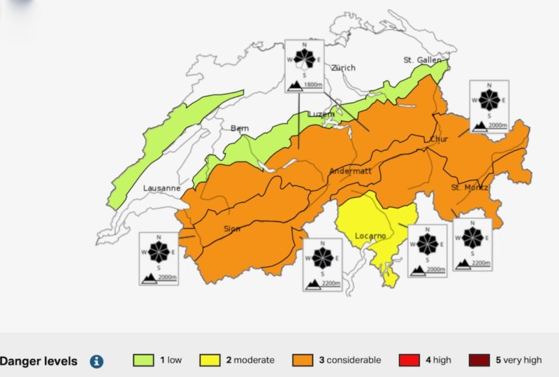
Swiss Avalanche risk. Image c/o Swiss Institute for Avalanche Research.
People across the Alps are advised to exercise caution when skiing off piste.
This from Henry’s Avalanche Talk in Val d’Isere:
The heaviest of of the snow has fallen in the northern Alps where it was badly needed.
Most areas had between 20 and 40cm above 2,000 metres, with up to 50cm in a few spots.
There was less below 1,000 metres.
For the worst affected ski resorts in the north-west much more will be needed, along with cold temperatures, to provide a good base and allow previously bare slopes to open.
It is, nevertheless, better news for skiers and snowboarders about to head out to the mountains for their fix.
It’s also a boost to resorts popular with Brits such as Morzine, whose village in the Portes du Soleil ski area sits at 1,000 metres altitude.
This is how the village looked on Tuesday morning after the storm had passed.
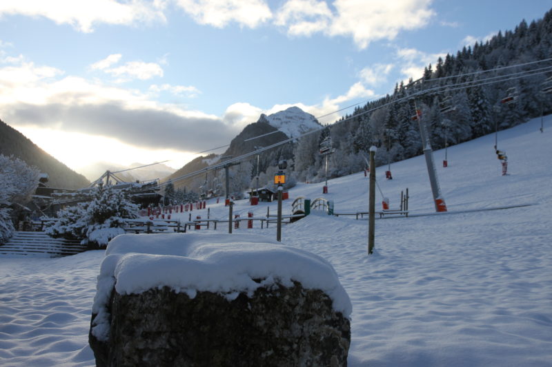
Morzine, France, Tuesday 10th January. Image c/o Morzine Tourist Office
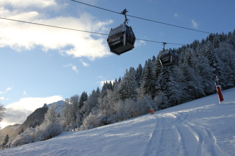
Morzine, France, Tuesday 10th January. Image c/o Morzine Tourist Office
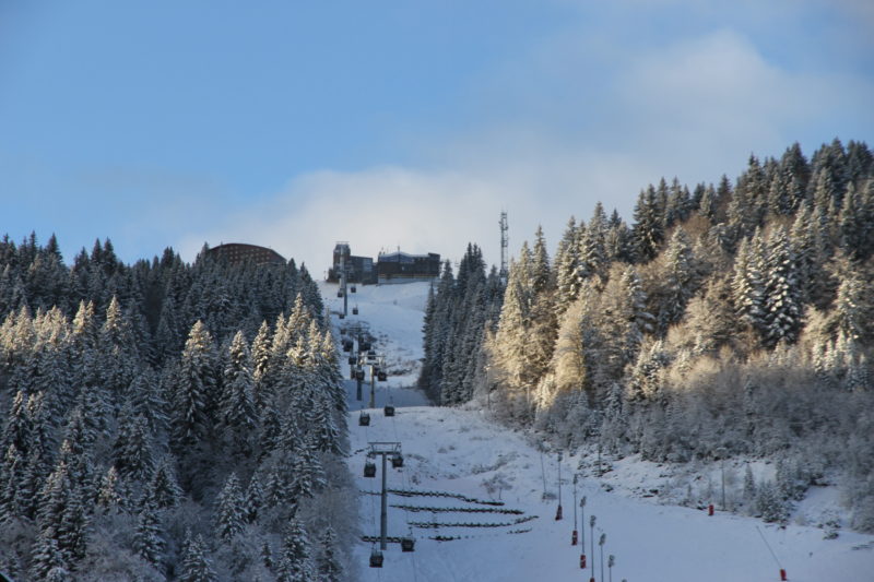
Morzine, France, Tuesday 10th January. Image c/o Morzine Tourist Office
Our chief reporter, Jane Peel, will be reporting from Morzine next week.
This is La Clusaz in France.
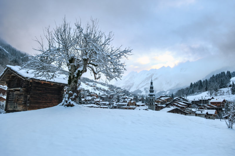
La Clusaz, France, Tuesday 10th January. Image © Pierre Maullet
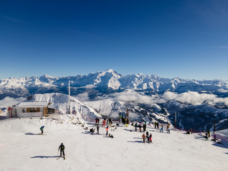
La Clusaz, France, Tuesday 10th January. Image © La Clusaz Tourist Office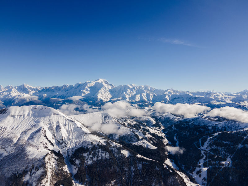
La Clusaz, France, Tuesday 10th January. Image © La Clusaz Tourist Office
Over the border in Switzerland, Verbier has also witnessed a welcome return to winter.
Good news for our editor, James Cove, who is on his way there.
PlanetSKI has been sent these photos of the village, taken on Monday.
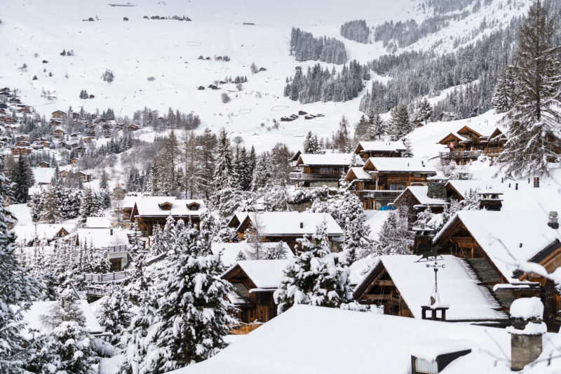
Verbier, Switzerland, Monday 9th January. Image © Raphael Surmont
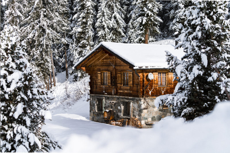
Verbier, Switzerland, Monday 9th January. Image © Raphael Surmont

Verbier, Switzerland, Monday 9th January. Image © Raphael Surmont
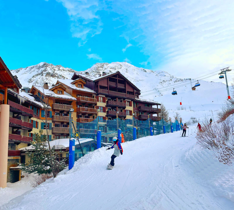
Arc 1950, France. Image c/o Arc 1950 tourist office.
It hadn’t been a good start to 2023 for some ski areas, especially the lower ones in the north western Alps.
Rain over the New Year holiday had washed away most of their snow, leaving them looking a dirty brown, rather than sparkling white.
But over Sunday and Monday, significant amounts of snow fell across large swathes of the Alps.
See here for our earlier story as it started to come down.
We’ve also been sent these images of the French resort of Manigod in the Aravis mountain range, taken on Tuesday morning.
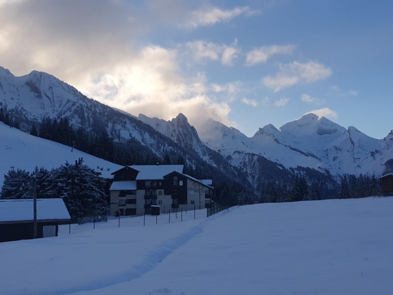
Manigod, France, Tuesday 10th January. Image c/o Office du Tourisme Manigod

Manigod, France, Tuesday 10th January. Image c/o Office du Tourisme Manigod
As the storm passed, resorts have been sharing their photos on social media.
https://www.facebook.com/valdisere/posts/pfbid0pEBPUWn6HV2AoVERRyMjcVoRTd9nirPhYCzWqyQzPZomGXDbcDbfPQhSBFWAxNYCl
https://www.facebook.com/lechzuers/posts/pfbid02XDnyx2kbf2NtVt4KC7msnJU6o5qimWAgynrABsWG54JVRNGiJpEM1eBoPuupzhnJl
Winter ❄️ is back in #saalbach 😍 pic.twitter.com/s9qTrBXAK0
— Saalbach Hinterglemm (@saalbach) January 10, 2023
https://www.facebook.com/courchevel/posts/pfbid02UYVkAbsyg9NTcYFhiMnFZ5b4GespzLaEVem8HQwjY5LWG9XJ8ux1LtKAVaZvnzi3l
RELATED STORIES
Richard Sinclair, the CEO of ski travel specialist, SNO, told PlanetSKI the change in the weather was making a difference to bookings, with the usual ‘Fear of Missing Out’ photos of snowy landscapes beginning to fill the Instagram feeds.
“As the more traditional ski holiday FOMO pics replace last week’s horror-show of patchy green fields, bookings in lower resorts from Morzine to Mayrhofen, are heading back towards the normal January frenzy,” he said.
“The good news for customers is that last week’s bad press has led to some great discounts from a few suppliers who panicked, but prices will now return to normal, as demand already outstrips supply for many of the remaining weeks this season.
“The best deal out there right now is the second half-term week – the 11th is almost sold out but there are great deals for the 18th which is half-term for much of northern England and Wales.”
And if you’re on the hunt for a half-term break, check out the deals on the SNO website.
And what of the forecast?
More snow is expected later this week, falling between Wednesday and Friday with the heaviest in the northern Alps above 1,600 metres.
However, it’s possible that at lower altitudes the precipitation will fall as rain again.
Much will depend on the freezing level.
Fingers crossed for some typical cold January temperatures.
We’ll be updating this report, so do check back.

PlanetSKI logo


