IT’S BELTING DOWN WITH SNOW IN THE ALPS!
27th January 2020
Last modified on May 15th, 2021
After a long spell of sunshine and mild temperatures, the snow has begun falling again. PlanetSKI reports from the Alps.
It’s been dumping down and there’s more to come.
Here’s a rather long video of the post-storm tidy up in St Anton ? and doesn’t it look fabulous.
https://www.facebook.com/Stanton.Arlberg/videos/631534711016416/
“With February rapidly approaching and the half-term week around the corner the snow is very welcome. Things are now be set up very nicely for our guests,” said Vanessa Fisher, a spokeswoman from the resort of Mes Menuires.
Here’s Val Thorens in France in Les3Vallees:
https://www.facebook.com/valthorens.resort/videos/228189974840989/UzpfSTk5MjQ2Mzc5MTQ3OjEwMTU5MzMxMzQ3ODU0MTQ4/?eid=ARCcuC7-vkn0leeCb6q2etlNCgo-VIJGjKB2zuXL4x6Q-wes7aR3v7Pu-t1UHZxD67efisc9lh1jadfL
Looking good in Val d’Isere too:
https://www.facebook.com/valdisere/videos/171574017494267/
And in Les Arcs…
“There is a lot of fresh snow this morning across the northern and western Alps,” Fraser Wilkin of Weather To Ski said on Wednesday.
“Given the amount of wind, it is quite difficult to know exactly how much as fallen but the general consensus is that the northern French Alps (e.g. Espace Killy, Paradiski, 3 Valleys, Grand Massif, Portes du Soleil) have already seen between 40cm and 70cm of new snow above 1800m, with more to come today.”
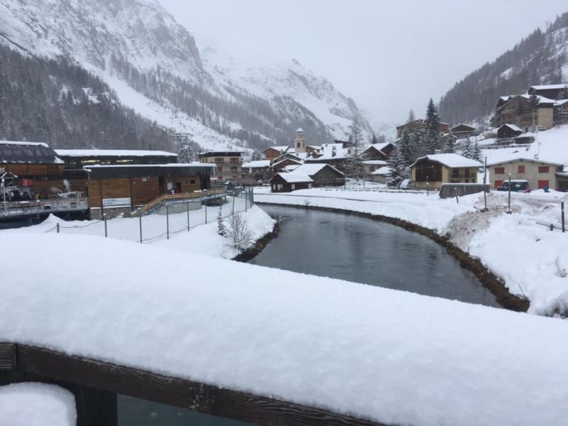
There’s also been significant snow in parts of the Swiss Alps – with up to 60cm at altitude in places such as Verbier and Mürren – the west of Austria and the far north west of Italy.
“Snow, snow & even more snow ❄️ Since yesterday it has been snowing quite a lot in Lech Zürs,” the resort said on Facebook on Wednesday.
“In the valley the snow height is up to 115 cm and in the skiing area up to 140 cm. Also today up to 40 cm of fresh snow is expected! ☃️”
Our latest video snow update, filed on Tuesday afternoon, comes from our editor, James Cove, who is in Schladming in Austria.
And here’s a moody photo of those clouds rolling in…
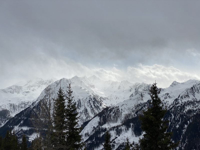
Schladming, Austria, on Tuesday. Image © PlanetSKI.
And snow it did.
Here’s scene at the Night Race in Schladming on Tuesday evening.
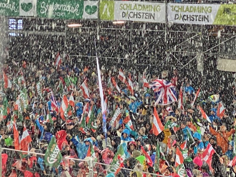
Schladming Night Race. Image © PlanetSKI.
As James mentioned in his report, the snow began bucketing down further west, in France.
“A major Atlantic storm has reached the Alps, with significant snow expected across many northern and western regions over the next day or two,” said Fraser Wilkin of Weather To Ski on Tuesday.
“The heaviest precipitation will fall in the north-western Alps, with predicted storm totals of 50-80cm above 1800m by tomorrow in the French Savoie (e.g. Paradiski, 3 Valleys, Grand Massif, Mt Blanc area).”
He says some resorts in Switzerland, Austria and Italy will also see between 30 and 50cm by the end of Wednesday.
Michael Pettifer of PlanetSKI partner MPI Brokers is in Flaine in France for the British Schoolgirls Races.
And it is snowing.
Hard.
“There are very high winds restricting the number of lifts open, and the forecast is for 40 to 45mph winds later today when they expect all lifts to shut,” he tells us.
“There is limited skiing for now thus the slopes are quite crowded and visibility is fair to poor, but not flat light.
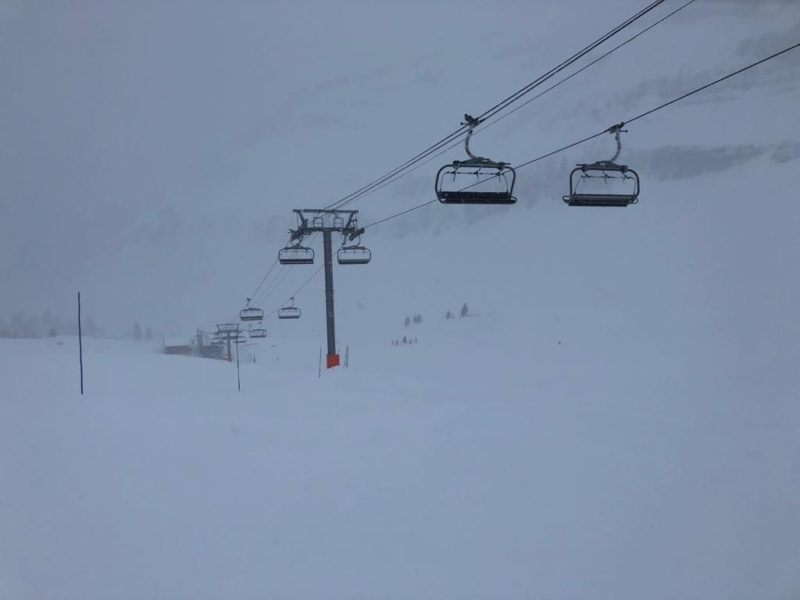
Looking gloomy in Flaine, France on Tuesday – photo Michael Pettifer
“The pistes have a good dusting of powder and getting deeper while off piste is ankle deep powder.
“So some good skiing can be had and as I write it’s still snowing hard, yippee!”
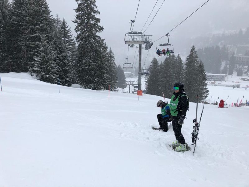
Flaine, France, on Tuesday – photo Michael Pettifer
PlanetSKI reader Dominic Hurst is in Tignes.
“It’s snowing heavily,” he told us on Tuesday.
“Most of the lifts are closed. More snow tomorrow as well.”
There are winds of up to 35mph.
Tignes les Brevieres, France on Tuesday – photo Dominic Hurst
MONDAY 27th JANUARY
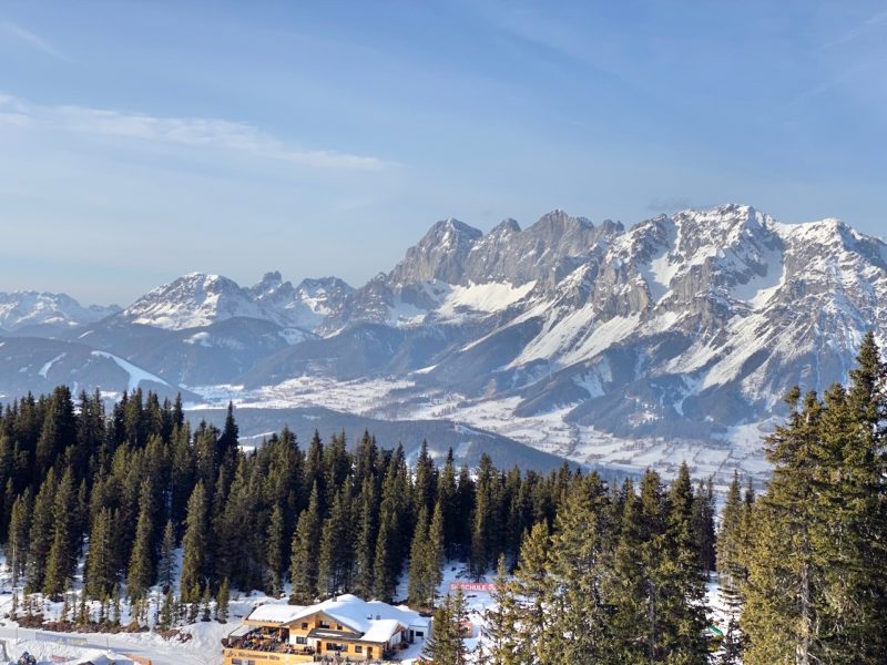
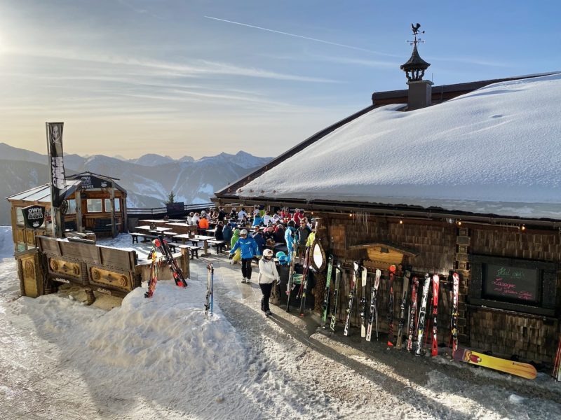
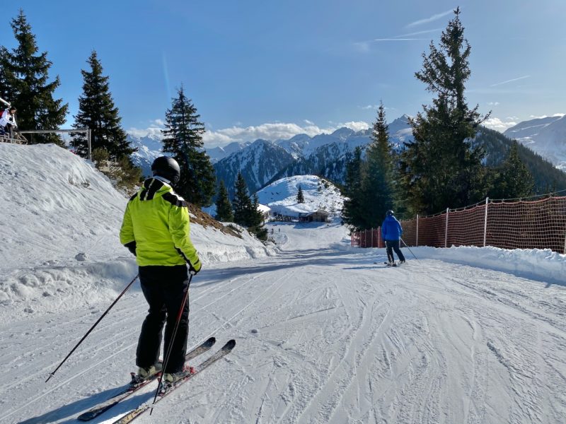
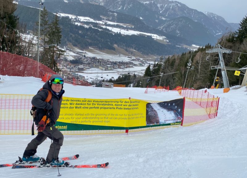
James Cove in Schladming reports that there’s no sign of any new snow yet, but it’s still looking good.
Schladming, Austria. Image © PlanetSKI.
Schladming, Austria. Image © PlanetSKI.
On piste at least.
Schladming, Austria. Image © PlanetSKI.
And certainly out of mountain restaurant windows.
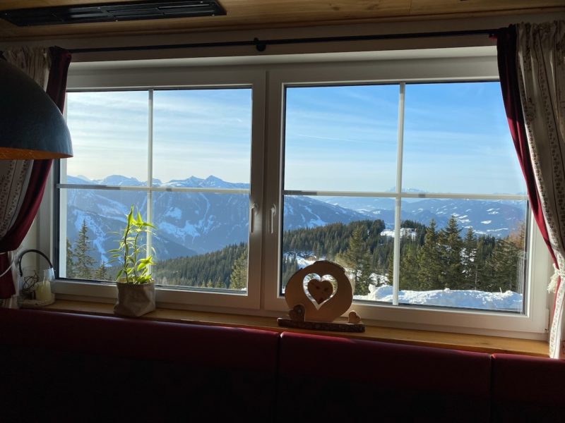
Schladming, Austria. Image © PlanetSKI.
James posted this video report on conditions as he arrived in Schladming on Sunday.
And bless you to the person on the chairlift with the bad cold 😉
So, what about elsewhere in the Alps as the snow approaches?
As always we turn to Fraser Wilkin from weathertoski.co.uk who said this on Monday:
“After a fine start across many parts of the Alps, cloud will increase in the west with the first precipitation arriving in the French and western Swiss Alps this evening.”
“The precipitation will intensify tonight and tomorrow across the western Alps, with the rain/snow limit gradually lowering towards or even below 1000m. It will also become very windy with blizzards expected at altitude.”
“The northern French Alps (roughly north of Grenoble) and the south-western Swiss Alps (e.g. Verbier) are set to see the heaviest snow from this storm, with a forecast 40-60cm above 1800m by Wednesday, and 80cm+ in a few favoured spots in France.”
“As a rule, the further south and east you are, the less significant any snow will be. That said, there will still be some useful falls across the eastern Swiss Alps, most of the Austrian Alps and some parts of the Italian Alps.”
“Lets hope some of it reaches us here in Schladming in the eastern Alps,” said James.
It looked good flying into Klagenfurt airport at the weekend.
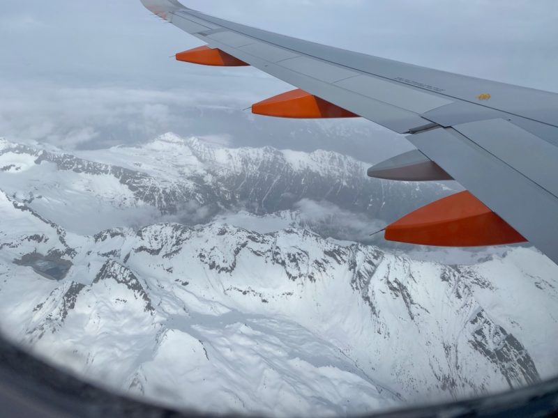
Aerial arrival into Austria. Image © PlanetSKI.
See here for more on the airport: Coming into land at Klagenfurt
James is in town for one of the highlights of the FIS racing calendar: the night-time World Cup slalom that takes place on Tuesday.
Preparations are underway.
Schladming World Cup Night Skiing. Image © PlanetSKI.
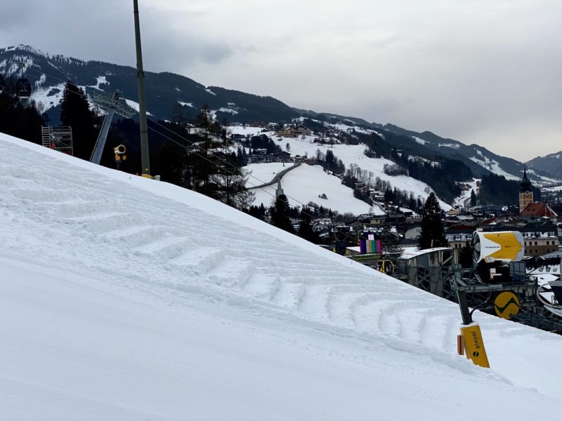
Schladming World Cup Night Skiing. Image © PlanetSKI.
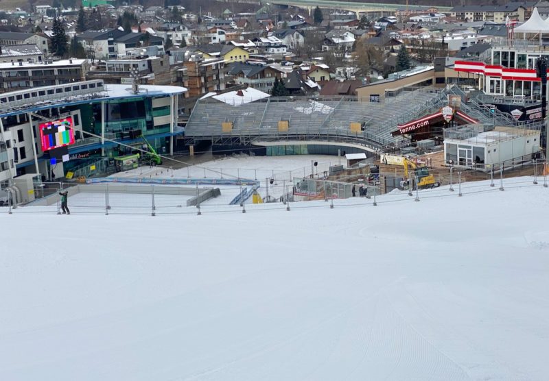
Schladming World Cup Night Skiing. Image © PlanetSKI.
It would be rude not to arrive a few days early and check out the skiing and the snow conditions in this part of the Alps.
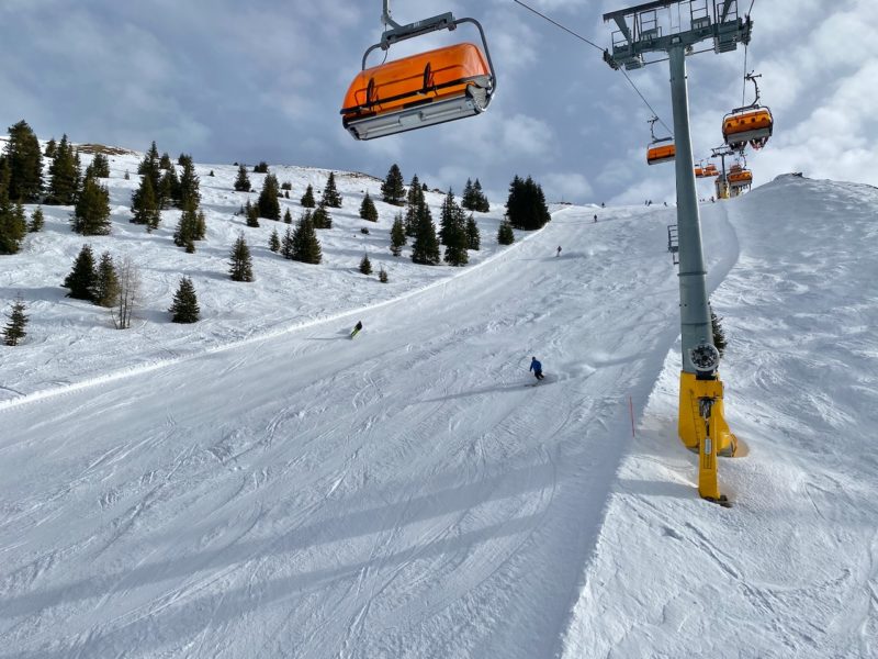
Schladming, Austria. Image © PlanetSKI.
We’ll be hearing more about the skiing in Schladming and its surrounding mountains later + details on the wonderful Klagenfurt airport – a fabulous backdoor way into the Austrian Alps.
But what about the snow elsewhere?
One of our regular readers, Michael Pettifer from MPI Brokers arrived in Flaine, France at the weekend.
“The weather is overcast, but the visibility is fair. The pistes are in good condition considering the lack of snow for the past week or so,” said Michael on Monday.
“It is hard with a light dusting in snow in places and some ice. The off piste is best described as variable!”
Earlier he was in Morzine in France.
“Piste conditions are excellent but a bit icy on the lower slopes. The off piste is skied out and though there are pockets of powder to be found the snow is pretty heavy,”said Michael.
“We have had good sunshine with occasional clouds.”
The specialist ski insurance provider, MPI Brokers, is sponsoring a number of events in the Alps at the moment including the Inter-livery ski championships in Morzine with 230 racers taking part.
Next he is onto Courmayeur in the Aosta Valley for the ‘AJ Bell Courmayeur Classic’ run by the charity Snow-Camp.
See here for further details as we reported on its launch: