The PlanetSKI Snow Report
22nd February 2023
Last modified on February 26th, 2023
Sunday 26th February
There’s been a change in the weather in the Alps with some snow in parts of France, Austria and eastern Switzerland.
The Arlberg ski area in western Austria has seen the best of the snow and PlanetSKI is planning to be in St Anton later in the week.
We’re heading to the Tirol on Tuesday.
PlanetSKI reader, Kylie Field, says there has been some snow in Soelden – “Finally some snow in Austria, 12cm in Soelden.”
Another reader, Sue McCausland, sent us this image from Les2Alpes in the southern French Alps.
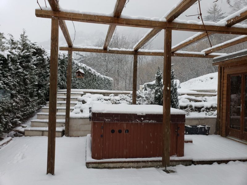
Les2Alpes, France.
PlanetSKI reporter, Claire McAteer, arrived in Tignes at the weekend.
It hasn’t seen any snow for over a month and there was a change in the weather with a few flakes falling on Sunday.
Around 5cm fell across the day.
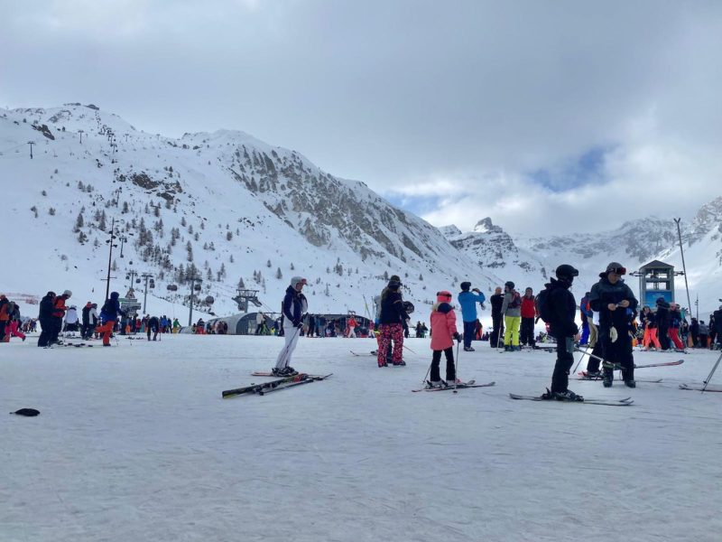
Tignes, France. Image © PlanetSKI
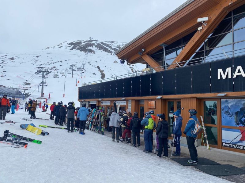
Tignes, France. Image © PlanetSKI
“We have snow in Tignes!” said Claire.
“Some locals tell me that despite the lack of snow there is still some good piste skiing at altitude, though no off piste.”
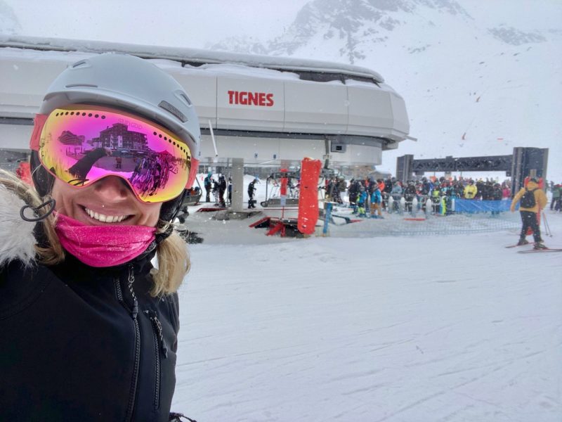
Claire McAteer, Tignes, France. Image © PlanetSKI
The weather has impacted World Cup racing.
The women’s downhill at Crans-Montana in Switzerland was cancelled on Saturday due to fog.
Fog descended and the competition was unable to start due to safety concerns for the athletes.
More to follow…
Thursday 23rd February
The place to be for snow at the moment is Norway.
Here is the view as PlanetSKI threw open the curtains this morning from the hotel it is staying at in Norfjell.
There has been some snow overnight and it is set to be a blue sky day.
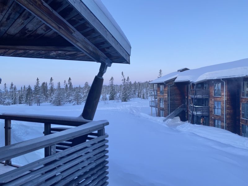
Skiing in Norway. Image © PlanetSKI
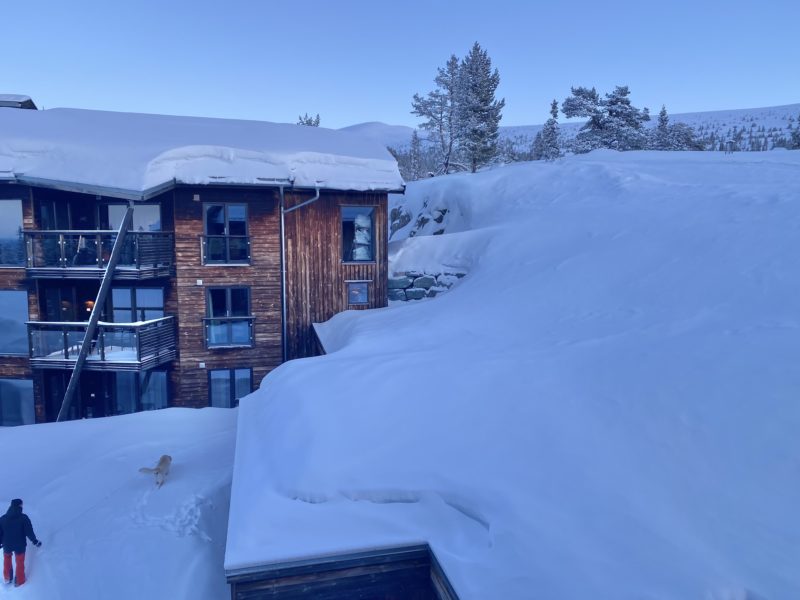
Skiing in Norway. Image © PlanetSKI
As the sun rose conditions look pretty tempting for the day ahead.
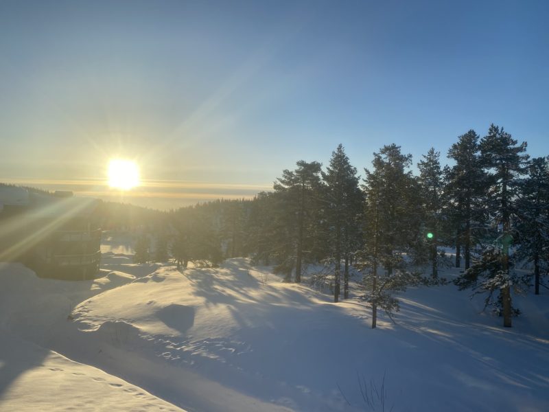
Skiing in Norway. Image © PlanetSKI
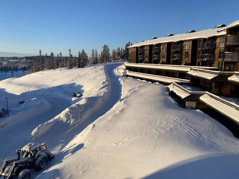
Skiing in Norway. Image © PlanetSKI
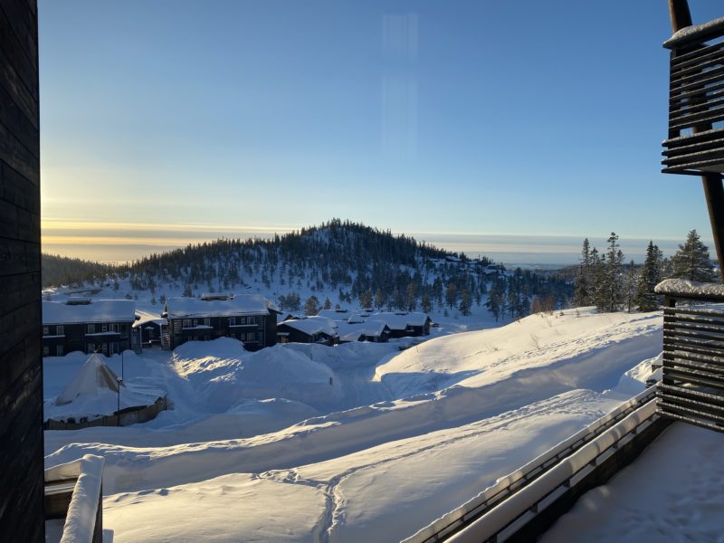
Skiing in Norway. Image © PlanetSKI
It seems there has been about 5cm of snow overnight and there was the same amount yesterday evening.
See here for more on our Norwegian travels:
At lunchtime James posted the latest video report on conditions in Norway and in the Alps:
It seems we may have selected the right country and the right resort.
“Trysil has been very windy but great conditions,” said one of our regular readers, Duncan Gilroy from Absolutely Snow, who is also out in Norway.
“The off piste is varied – wind blow, powder, ice, powder, windblown all within 10m,” he added.
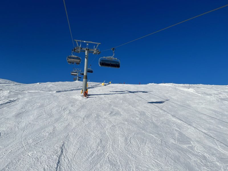
Trysil, Norway. Image © PlanetSKI
More to follow…
Wednesday 22nd February
The weather is changing in the Alps with some snow forecast in parts.
Here is the view from La Rosiere in France looking across to Les Arcs.
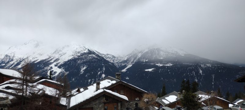
Image © PlanetSKI
“There are some distinctly beige patches appearing on runs near the bottom of the Plan Du Repos lift,” said PlanetSKI’s Tim Clark from the resort.
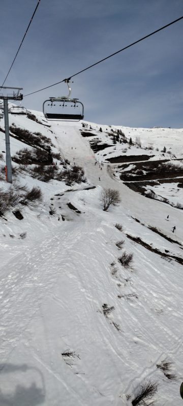
La Rosiere. Image © PlanetSKI
“The higher pistes, though keeping their shape, have begun to feel as hard as concrete in the early morning due to lack of fresh snow on the slopes,” Tim added.
Thursday and Friday look set for the sun to return to La Rosiere.
This part of the Alps has seen wall-to-wall sunshine in recent weeks.
There is precious little snow coming to this area of the north-west Alps, but by the weekend snow should be falling further east in parts of Switzerland and Austria.
“More significant snowfalls are likely in some northern parts of the Alps on Friday and Saturday, with areas that might see some useful snowfalls including the central northern and north-western Swiss Alps (e.g. Engelberg, Klosters) and the northern Austrian Alps (e.g. Lech, Seefeld, Kaprun, Schladming),” said Fraser Wilkin from weathertoski.co.uk
“It remains uncertain how much snow will fall though, with different weather models predicting anything between 10cm and 40cm in these regions between Thursday night and Saturday morning.”
PlanetSKI reader, Tim Whiteman, has sent us this image from Leukerbad in Switzerland where they seem in need of some fresh snow.
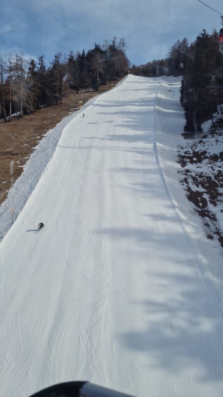
Leukerbad, Switzerland
Here at PlanetSKI we’ll keep you posted.
We are pleased to say that we have gone to where the snow is, as it didn’t seem to be coming to us in the Alps.
PlanetSKI’s editor, James Cove, is currently doing a rail safari round a few resorts in Norway.
He has skied in Voss and Myrkdalen where there was some fresh snow.
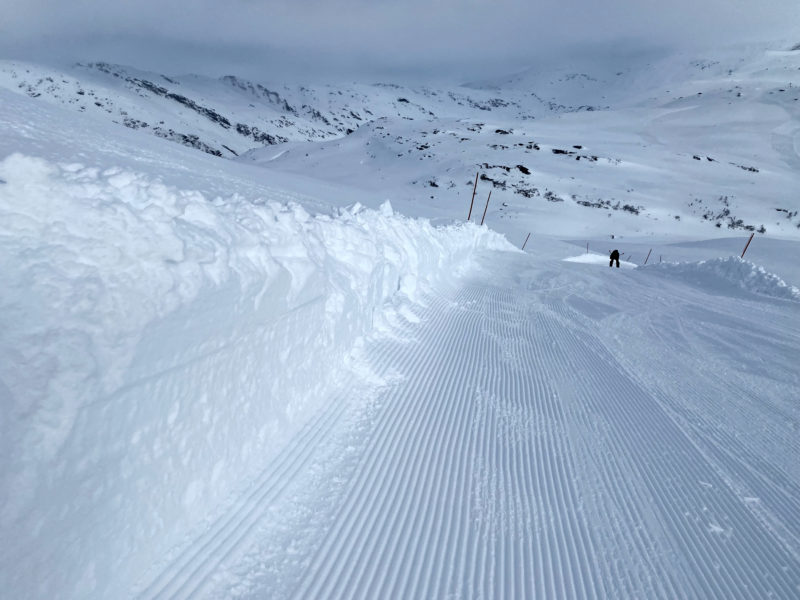
Skiing in Norway. Image © PlanetSKI
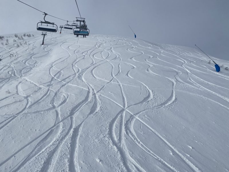
Skiing in Norway. Image © PlanetSKI
He is now in Norefjell.
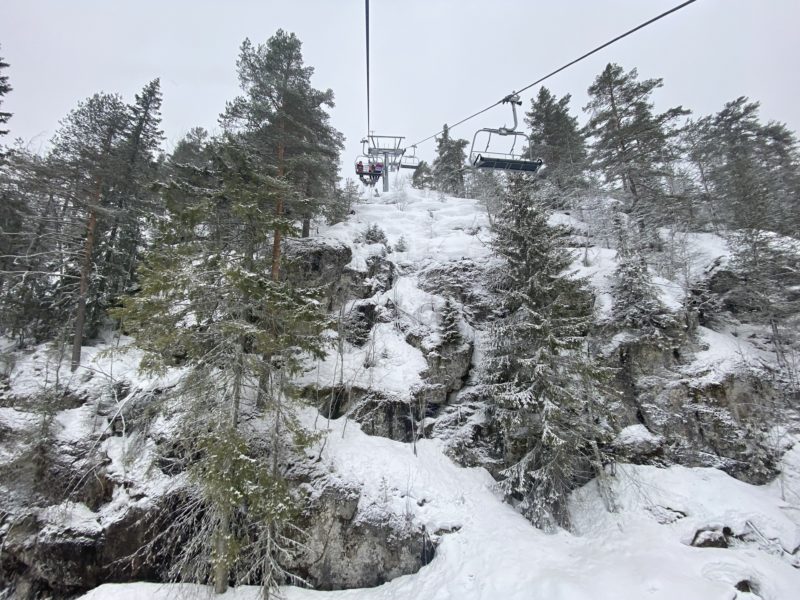
Norefjell, Norway. Image © PlanetSKI
“It was snowing lightly this morning with around 5cm of fresh snow and then it eased off after lunch,” said James.
“Norway is seeing an above average winter with consistent snow and cold temperatures.
“It is around 1,2000 miles north of the Alps so generally it is much colder in winter,” added James.
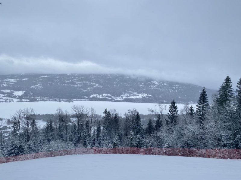
Norefjell, Norway. Image © PlanetSKI
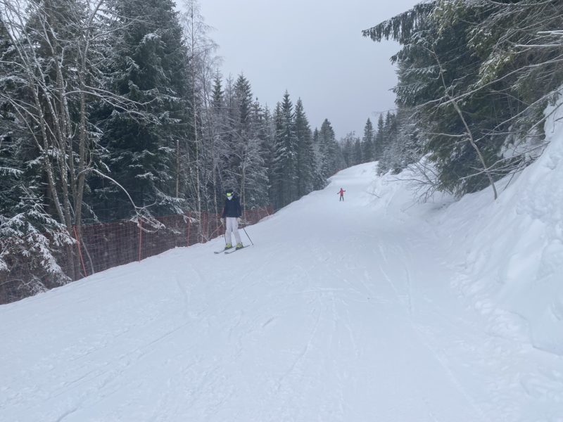
Norefjell, Norway. Image © PlanetSKI
Here is the scene outside his hotel in the resort at around 1,000m – it illustrates well how much snow has fallen and how it has not melted.
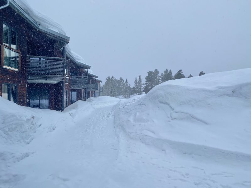
Norefjell, Norway. Image © PlanetSKI
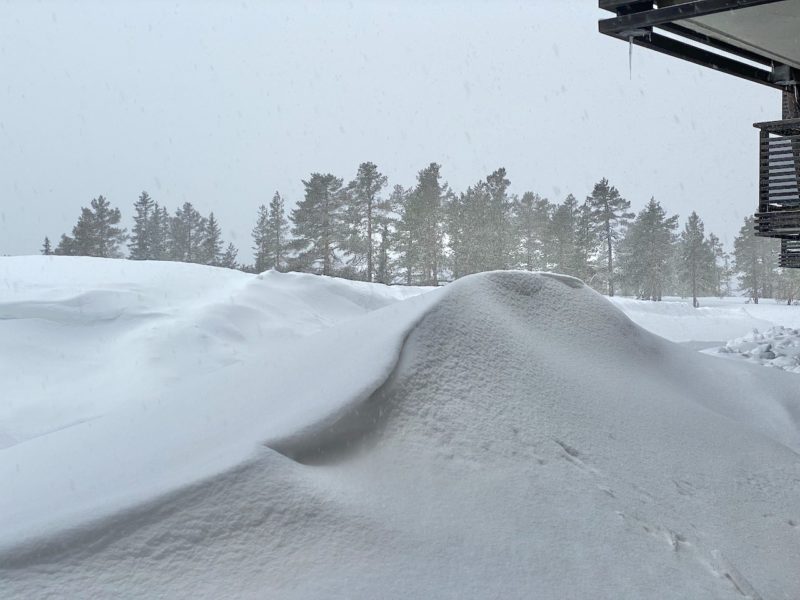
Norefjell, Norway. Image © PlanetSKI
James will be filing a full video snow report on Thursday so look out for that.
Tuesday 21st February
PlanetSKI’s editor, James Cove, arrived in Norway on Sunday, as we reported below.
He’s finally made it onto the slopes.
And here’s what it’s looking like in Voss today.

Voss, Norway. Image © PlanetSKI
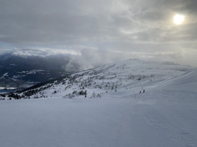
Voss, Norway. Image © PlanetSKI

Voss, Norway. Image © PlanetSKI
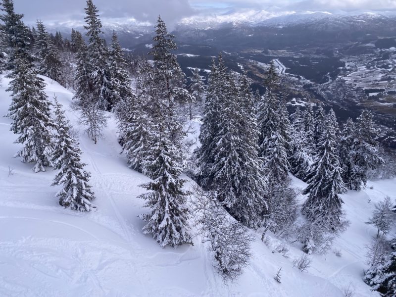
Voss, Norway. Image © PlanetSKI
Monday 20th February
PlanetSKI reporter, Tim Clark, is in La Rosiere in France – where it hasn’t snowed for a while.
Neither in La Rosiere nor for that matter many of the surrounding French resorts.
“The temperature is expected to hit a balmy 10C on Tuesday and there has been almost uninterrupted sun across the Haute-Tarentaise,” said Tim on Monday.
“The resort is at 1,850m and the snowpack of around 48-60cm is holding up against the mid-winter sun.
“Overall, the pistes have held their shape until around 2pm when some patches of slush appear.
“The night-time freeze helps give the snowpack a chance to recover, but then there’s a further onslaught of sunshine the following morning on the mainly south-facing slopes.
“At the top of Roc Noir lift, 2,330m, the pack is deeper and has kept its shape through the day, softening as expected by late afternoon.
“All runs are open and in decent condition, with only one minor connecting route from Marmois to Chamois runs appearing to be out of action long-term. Whether this was a decision not to groom that slope is unknown but plenty of other routes are available.
“Of course, the night-time freeze means some tough icy patches which persisted until around 10am despite being south facing.
“I’m heading to Italy over the coming days to check out conditions in La Thuile and will report on conditions across the border,” added Tim.
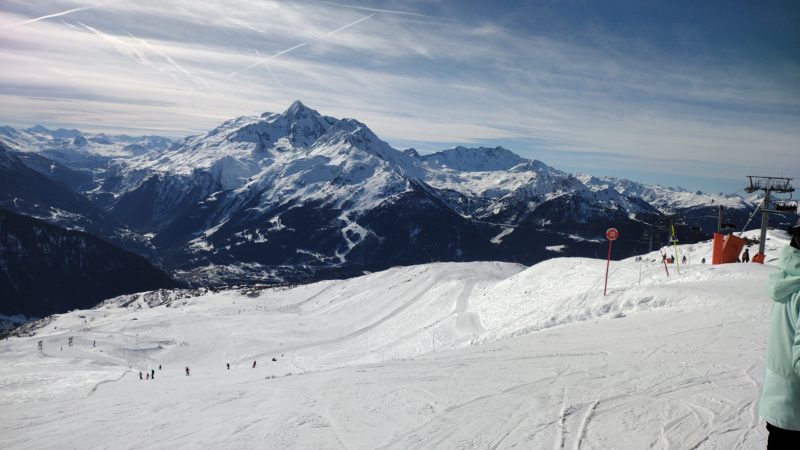
La Rosiere, France. Image © PlanetSKI
PlanetSKI’s editor, James Cove, has just arrived in Norway where heavy snow has been falling, but it has also been accompanied by high winds.
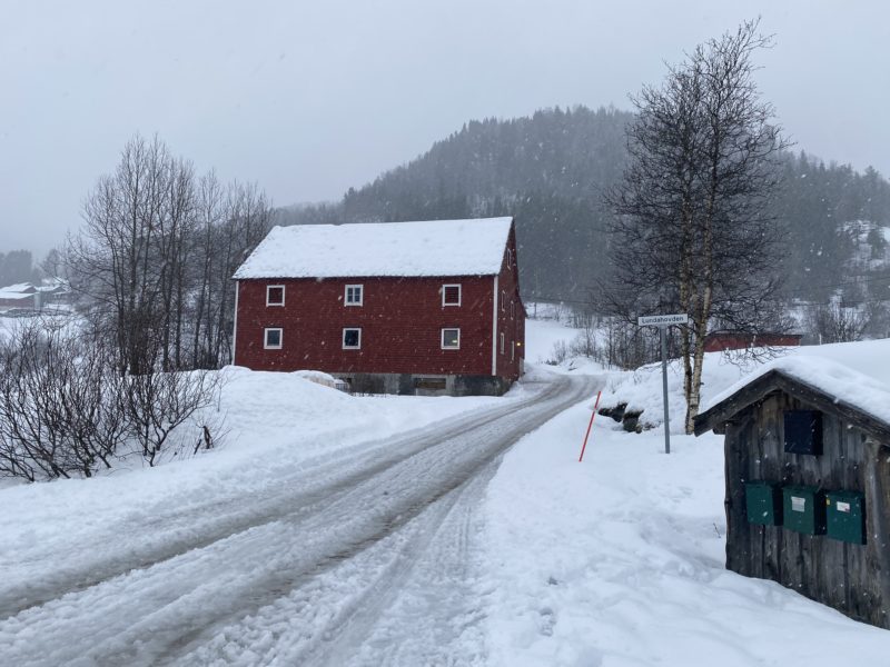
Skiing in Norway. Image © PlanetSKI
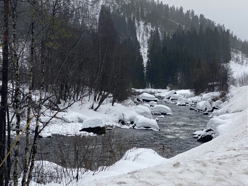
Skiing in Norway. Image © PlanetSKI
Sunday 19th February
The first half of the week looks mostly sunny but quite mild.
The second half of the week is set to turn a little more unsettled with the chance of some showers or flurries in places, but the weather models are volatile so detail remains uncertain.
“One thing that is certain is that there is still no sign of any really widespread heavy snow in the forecast any time soon,” said the alpine weathr expert, Fraser Wilkin from weathertoski.co.uk.
“Snow conditions remain rather mixed across the Alps,” he added.
“There is still some good piste skiing in most parts of the Alps but snow quality is variable due to a mix of heavy skier traffic (being peak holiday time) and the effect of mild temperatures and a strengthening sun, which has been increasing the freeze-thaw process on south-facing slopes.”

PlanetSKI logo

