New Rail Map to Access French Ski Resorts
12th September 2023
Last modified on September 18th, 2023
A new map of rail routes to ski resorts in France claims to give skiers a clearer picture of how they can travel to the mountains by train. Some already think it is far too complex.
The Rail Ski Map has been created by independent rail-ski website Snowcarbon, in conjunction with France Montagnes and Explore France.
It features 35 train stations in the French Alps and the Pyrenees, serving 93 ski resorts.
It was created by graphic designer, David Cooper.
The map aims to be “a source of inspiration and a useful planning tool for anyone considering a rail journey to the Alps and Pyrenees”.
The map shows the key high-speed, local and sleeper train routes available to popular destinations.

Image c/o Snowcarbon
It has been welcomed by those that prefer to take a train to the Alps.
Some though are saying it is rather complex and it can’t be taken in at a single glance as there is too much information.
“You need to see in a simple visual where the train starts and how I can travel to the resort that I like to go to,” said one PlanetSKI reader.
“It perhaps needs to be more like the London tube map – superbly simple”.
“For anyone planning a rail journey or looking for inspiration, maps are an essential part of the picture,” says David Cooper.
“They enable people to see, at a glance, which ski resorts are possible to reach.
“ As well as that, people can plan stop overs en route, taking advantage of the fact that they are travelling through a town or city that they’d like to visit.”
- Travel by train to Morzine and save money in resort
- New overnight ski train from Holland to Austria
- PlanetSKI takes the train to the Alps
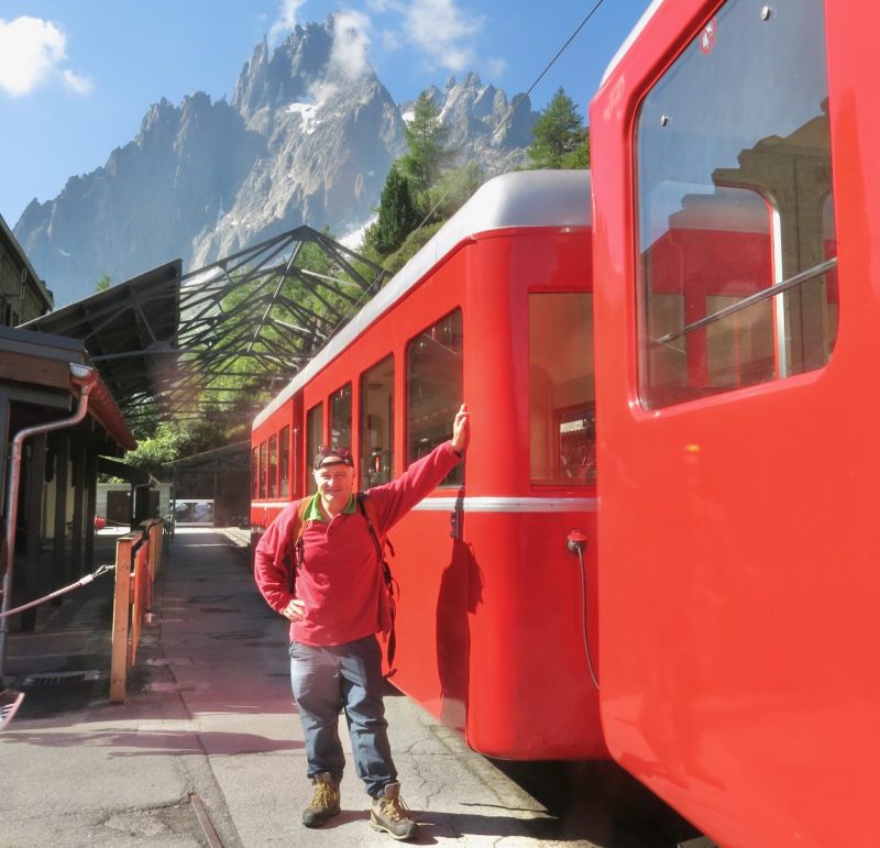
Train in the Alps Image © PlanetSKI.
“There are so many ski resorts that are accessible by rail,” said the founder of Snowcarbon, Daniel Elkan.
“But many skiers don’t know about these journeys because they don’t have the visual context– literally – of what the possibilities are.
“With so many more skiers opting for indirect options via Paris or Lille, the Rail-Ski Map can be a vital starting point in a switch from plane or car to train.
“Maps are also an essential tool for ensuring that you don’t get fooled by rail-booking website algorithms, which might inadvertently exclude suitable options.
“Using the map as a planning companion, you no longer have to blindly accept the results that websites offer you.”
The map is available as a PDF and as JPG and PNG thumbnails, downloadable from Dropbox here.
While the Rail Ski Map to the French Alps and Pyrenees focusses on ski resorts, Elkan also recommends the Rail Map of Europe for anyone travelling into Europe by train.
“The paper European Rail Map is an inspiring and invaluable companion for any journey. It opens up a world of rail-journey possibilities.”
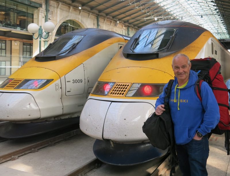
Eurostar. Image © PlanetSKI
New research-analysis by Protect Our Winters UK (POW) and Snowcarbon reveals the results on the carbon emissions produced on a ski holiday, based on journeys between London and the ski resort of Tignes, France.
When a skier travels by plane, the total climate change causing greenhouse gas emissions of a typical holiday are 395kg CO2e, with 250kg CO2e resulting solely from the journey.
In contrast, a typical ski holiday by train results in a total of 156 kg CO2e, because the train journey creates only 11kg CO2e of emissions.
PlanetSKI logo